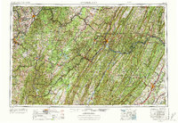
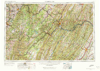
1956 Map of Cumberland
USGS Topo · Published 1972About this map
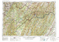
Cumberland serves as a pivotal rail and river junction where the Potomac River winds through the Appalachian ridges. This 1950s era survey captures a landscape defined by the heavy infrastructure of the Baltimore & Ohio RR and the Western Maryland Ry, which follow the river valleys and mountain gaps to connect industrial centers like Morgantown and Winchester.
Find a feature on this map
63 named features on this map. Tap any name to fly to it.
Don’t see what you’re looking for? This feature index may not catch every label — zoom into the map to look around manually.
Map Details
Editions of this 1956 Cumberland Map
6 editions found
Other maps of this area

1884 · Harpers Ferry
USGS Topo · 1:125,000

1886 · St. George
USGS Topo · 1:125,000

1889 · Beverly
USGS Topo · 1:125,000

1891 · Harpers Ferry
USGS Topo · 1:125,000

1891 · St. George
USGS Topo · 1:125,000

1891 · Romney
USGS Topo · 1:125,000

1892 · Beverly
USGS Topo · 1:125,000

1892 · Franklin
USGS Topo · 1:125,000

1892 · Woodstock
USGS Topo · 1:125,000

1893 · Buckhannon
USGS Topo · 1:125,000