
1963 Map of Cumbie Draw
USGS Topo · Published 1964About this map
The North Concho River winds through this West Texas landscape, shaping a terrain of deep draws and hollows. During the early 1960s, the area's economy was anchored by ranching and petroleum, as evidenced by the Foster Ranch and a designated Oil Field scattered with an Oil Well. Evidence of past transportation networks is visible in the Old RR Grade that cuts across the northern portion of the sheet near a Sub Sta and Rodeo Ground. For genealogists, the Foster Cem near the southern boundary provides a specific point of interest for family research. The map captures the transition of the land through drainage features like Cumbie Draw, Cobb Draw, and Lacy Creek, illustrating how water and industry have historically dictated the footprint of human presence in this part of Sterling County.
Find a feature on this map
19 named features on this map. Tap any name to fly to it.
Don’t see what you’re looking for? This feature index may not catch every label — zoom into the map to look around manually.
Map Details
Editions of this 1963 Cumbie Draw Map
This is the sole edition of this map. No revisions or reprints were ever made.
Other maps of this area

1954 · San Angelo
USGS Topo · 1:250,000

1958 · San Angelo
USGS Topo · 1:250,000

1963 · Glass Ranch
USGS Topo · 1:24,000

1963 · Cumbie Draw NE
USGS Topo · 1:24,000
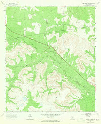
1963 · Sand Bluff Draw
USGS Topo · 1:24,000

1965 · San Angelo
USGS Topo · 1:250,000

1972 · Sterling City
USGS Topo · 1:24,000
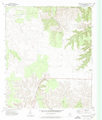
1972 · Sterling City NW
USGS Topo · 1:24,000

1972 · Dog Creek NW
USGS Topo · 1:24,000
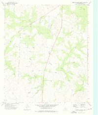
1973 · Dripping Springs Draw
USGS Topo · 1:24,000