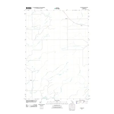
2011 Map of Cunard
USGS Topo · Published 2011About this map
Cunard and Blom are the primary points of settlement in this northern Michigan landscape, characterized by an intricate drainage network of creeks and small rivers. The Little Cedar River winds through the northeast corner, accompanied by the Cunard Rest Area along the main transit route. The terrain is defined by its watercourses, from the northern Fitzgerald Creek and Turners Creek down to the southern reaches of DeHaas Creek and Nadeau Creek.
Find a feature on this map
17 named features on this map. Tap any name to fly to it.
Don’t see what you’re looking for? This feature index may not catch every label — zoom into the map to look around manually.
Map Details
Editions of this 2011 Cunard Map
This is the sole edition of this map. No revisions or reprints were ever made.
Other maps of this area

1939 · Pembine
USGS Topo · 1:48,000

1947 · Pembine
USGS Topo · 1:48,000

1954 · Escanaba
USGS Topo · 1:250,000

1955 · Vulcan
USGS Topo · 1:24,000

1955 · Norway
USGS Topo · 1:62,500

1956 · Foster City
USGS Topo · 1:62,500

1957 · Escanaba
USGS Topo · 1:250,000

1958 · Escanaba
USGS Topo · 1:250,000

1963 · Pembine
USGS Topo · 1:62,500

1963 · Powers
USGS Topo · 1:62,500