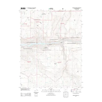
2013 Map of Curecanti Needle
USGS Topo · Published 2013About this map
The Curecanti Needle stands as a prominent landmark over the Black Canyon of the Gunnison in this high-country landscape. This area is defined by the containment of the Gunnison River within the Morrow Point Reservoir, a massive water management feature surrounded by the Curecanti National Recreation Area. The map reveals a history of land use and water rights in a challenging environment, marked by significant irrigation projects like the Big Blue Ditch and McKinley Ditch which move water across the high mesas.
Find a feature on this map
48 named features on this map. Tap any name to fly to it.
Don’t see what you’re looking for? This feature index may not catch every label — zoom into the map to look around manually.
Map Details
Editions of this 2013 Curecanti Needle Map
This is the sole edition of this map. No revisions or reprints were ever made.
Other maps of this area

1908 · Uncompahgre
USGS Topo · 1:125,000

1909 · Montrose
USGS Topo · 1:125,000

1911 · Uncompahgre
USGS Topo · 1:125,000

1911 · Montrose
USGS Topo · 1:125,000

1954 · Little Soap Park
USGS Topo · 1:24,000

1954 · Sapinero
USGS Topo · 1:24,000

1956 · Curecanti Needle
USGS Topo · 1:24,000

1956 · Cimarron
USGS Topo · 1:24,000

1956 · Montrose
USGS Topo · 1:250,000

1957 · Cathedral Peak
USGS Topo · 1:24,000