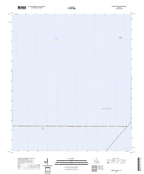
2025 Map of Curlew Islands
USGS Topo · Published 2025About this map
Chandeleur Islands and the Curlew Islands emerge as delicate geological markers in this coastal survey, situated where the Chandeleur Sound meets the expansive Gulf of America. This specific maritime environment highlights the shifting nature of Louisiana's outer barrier island chains, which serve as the primary line of defense for the mainland against the open sea. The sparse labeling reflects a landscape dominated by water and low-lying coastal landforms, providing a clear reference for the positioning of these islands before ongoing coastal erosion and tidal changes further alter their footprint. The separation between the sound and the gulf illustrates the complex hydrography of the region, where shallow estuarine waters transition into the deeper currents of the gulf.
Find a feature on this map
4 named features on this map. Tap any name to fly to it.
Don’t see what you’re looking for? This feature index may not catch every label — zoom into the map to look around manually.
Map Details
Editions of this 2025 Curlew Islands Map
This is the sole edition of this map. No revisions or reprints were ever made.
Other maps of this area

1893 · Chandeleur
USGS Topo · 1:62,500

1951 · New Harbor Islands
USGS Topo · 1:24,000
1951 · Stake Islands
USGS Topo · 1:24,000
1951 · Freemason Island
USGS Topo · 1:24,000
1951 · Grand Gosier Islands
USGS Topo · 1:24,000

1957 · Breton Sound
USGS Topo · 1:250,000

1961 · Breton Sound
USGS Topo · 1:250,000

1982 · North Islands
USGS Topo · 1:100,000
1983 · Black Bay
USGS Topo · 1:100,000
1998 · New Harbor Islands
USGS Topo · 1:24,000