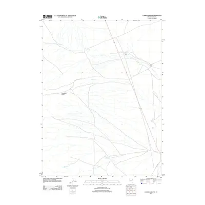
2012 Map of Currie Gardens
USGS Topo · Published 2012About this map
Currie Gardens lies at the heart of this high-desert Elko County landscape, where water dictates the location of every human habitation. The drainage of Phalen Cr serves as a primary geographic anchor, supporting the isolated Phalen Creek Ranch and Walker Ranch. These ranching outposts are connected by a network of rural routes including Cottonwood Canyon Rd and McDermitt Rd, which navigate the arid terrain. The map reveals the critical importance of localized water sources, documenting numerous named points like Thompson Springs, Moonshine Spring, and Mustang Springs. This distribution of springs and ranches reflects a persistent pattern of Great Basin land use where life is clustered around reliable groundwater and seasonal creeks beneath the shadows of Cottonwood Canyon.
Find a feature on this map
13 named features on this map. Tap any name to fly to it.
Don’t see what you’re looking for? This feature index may not catch every label — zoom into the map to look around manually.
Map Details
Editions of this 2012 Currie Gardens Map
This is the sole edition of this map. No revisions or reprints were ever made.
Other maps of this area

1955 · Elko
USGS Topo · 1:250,000

1958 · Elko
USGS Topo · 1:250,000

1962 · Elko
USGS Topo · 1:250,000

1965 · Elko
USGS Topo · 1:250,000

1982 · Currie
USGS Topo · 1:24,000

1982 · Mizpah
USGS Topo · 1:24,000
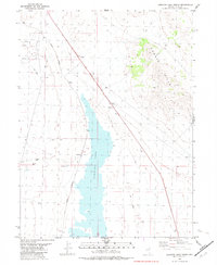
1982 · Goshute Lake North
USGS Topo · 1:24,000

1984 · Currie Gardens
USGS Topo · 1:24,000
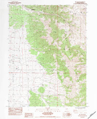
1984 · Mt. Taylor
USGS Topo · 1:24,000

1984 · Silo Canyon
USGS Topo · 1:24,000