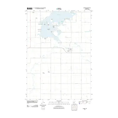
2010 Map of Currie
USGS Topo · Published 2010About this map
Lake Shetek and its complex network of islands and sloughs define this section of the Minnesota prairie, where the Des Moines River begins its southeastern journey. The landscape is marked by prominent points and islands such as Valhalla Island, Wolf Point, and Loon Island, while the Shetek Lake Dam regulates the water levels that have historically shaped this area. To the south, the terrain transitions into the dry basins of Clear Lakebed and Mud Lakebed, indicating shifts in the local hydrology over time.
Find a feature on this map
48 named features on this map. Tap any name to fly to it.
Don’t see what you’re looking for? This feature index may not catch every label — zoom into the map to look around manually.
Map Details
Editions of this 2010 Currie Map
This is the sole edition of this map. No revisions or reprints were ever made.
Other maps of this area

1953 · New Ulm
USGS Topo · 1:250,000

1954 · Fairmont
USGS Topo · 1:250,000

1957 · New Ulm
USGS Topo · 1:250,000

1958 · New Ulm
USGS Topo · 1:250,000

1958 · Fairmont
USGS Topo · 1:250,000

1967 · New Ulm
USGS Topo · 1:250,000

1967 · Balaton
USGS Topo · 1:24,000

1967 · Slayton
USGS Topo · 1:24,000

1967 · Tracy East
USGS Topo · 1:24,000

1967 · Hadley
USGS Topo · 1:24,000