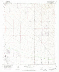
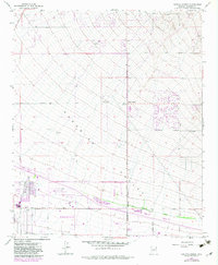
1964 Map of Currys Corner
USGS Topo · Published 1975About this map
Paradise Valley serves as the central landscape of this 1964 survey, capturing a pivotal moment of suburban expansion into the Arizona desert north of Phoenix. The map illustrates the emerging street grid against the natural terrain, with early developments like the Ironwood Golf Course and a Trailer Park appearing near the southern boundary. Infrastructure of the era is clearly marked by the Pinnacle Peak Substation and the path of the Old Verde Canal, which speaks to the region's managed water history.
Find a feature on this map
33 named features on this map. Tap any name to fly to it.
Don’t see what you’re looking for? This feature index may not catch every label — zoom into the map to look around manually.
Map Details
Editions of this 1964 Currys Corner Map
5 editions found
Other maps of this area

1904 · Camelback
USGS Topo · 1:62,500

1906 · Camelsback
USGS Topo · 1:62,500

1930 · Cave Creek
USGS Topo · 1:125,000

1939 · Cave Creek
USGS Topo · 1:125,000

1954 · Phoenix
USGS Topo · 1:250,000

1954 · Mesa
USGS Topo · 1:250,000

1957 · Mesa
USGS Topo · 1:250,000

1957 · Phoenix
USGS Topo · 1:250,000

1958 · Mesa
USGS Topo · 1:250,000

1958 · Phoenix
USGS Topo · 1:250,000