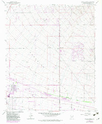
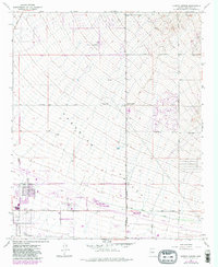
1964 Map of Currys Corner
USGS Topo · Published 1983About this map
Paradise Valley stretches across the center of this map, framed by the desert terrain of the Union Hills and the prominent Pinnacle Peak. The early 1960s landscape shows the transition of northern Phoenix from open desert to a planned suburban environment, marked by the emerging Phoenix Corporate Boundary and the establishment of local institutions like Paradise Valley High Sch. Large-scale infrastructure is visible in the Pinnacle Peak Substation and several water tanks that supported the region's rapid growth.
Find a feature on this map
29 named features on this map. Tap any name to fly to it.
Don’t see what you’re looking for? This feature index may not catch every label — zoom into the map to look around manually.
Map Details
Editions of this 1964 Currys Corner Map
5 editions found
Other maps of this area

1904 · Camelback
USGS Topo · 1:62,500

1906 · Camelsback
USGS Topo · 1:62,500

1930 · Cave Creek
USGS Topo · 1:125,000

1939 · Cave Creek
USGS Topo · 1:125,000

1954 · Phoenix
USGS Topo · 1:250,000

1954 · Mesa
USGS Topo · 1:250,000

1957 · Mesa
USGS Topo · 1:250,000

1957 · Phoenix
USGS Topo · 1:250,000

1958 · Mesa
USGS Topo · 1:250,000

1958 · Phoenix
USGS Topo · 1:250,000