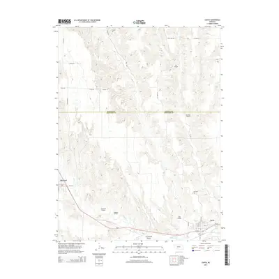
2014 Map of Curtis
USGS Topo · Published 2014About this map
Medicine Cr winds through the loess hills of southwestern Nebraska, defining the landscape between the rural centers of Curtis and Maywood. This 2014 survey captures the intricate drainage system of the Medicine Creek watershed, where numerous named ravines like Cut Canyon, Richman Canyon, and Well Canyon reveal the complex erosion patterns of the Frontier County plains. The town of Curtis is clearly detailed at the junction of Ne-23 and the NE-23 Spur, showing the local street grid including Center Ave and Crook Ave.
Find a feature on this map
36 named features on this map. Tap any name to fly to it.
Don’t see what you’re looking for? This feature index may not catch every label — zoom into the map to look around manually.
Map Details
Editions of this 2014 Curtis Map
This is the sole edition of this map. No revisions or reprints were ever made.
Other maps of this area

1902 · Gothenburg
USGS Topo · 1:125,000

1954 · McCook
USGS Topo · 1:250,000

1956 · Jeffrey Reservoir SW
USGS Topo · 1:24,000

1956 · Curtis SW
USGS Topo · 1:24,000

1956 · Moorefield
USGS Topo · 1:24,000

1956 · Curtis NW
USGS Topo · 1:24,000

1956 · Curtis
USGS Topo · 1:24,000

1956 · Curtis SE
USGS Topo · 1:24,000

1956 · Stockville
USGS Topo · 1:24,000

1956 · Wellfleet SE
USGS Topo · 1:24,000