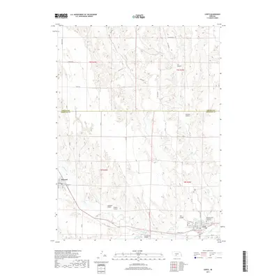
2017 Map of Curtis
USGS Topo · Published 2017About this map
Curtis and Maywood serve as the primary hubs in this western Nebraska landscape, where the deeply eroded drainage systems of Medicine Cr and Brushy Cr define the local geography. The map reveals a transition between upland plateaus and a series of prominent ravines, including Well Canyon, Aakenson Canyon, and Staples Canyon. Local history and institutional foundations are evident in the presence of the Nebraska College of Technical Agriculture and the Curtis Cem on the eastern edge of the survey.
Find a feature on this map
49 named features on this map. Tap any name to fly to it.
Don’t see what you’re looking for? This feature index may not catch every label — zoom into the map to look around manually.
Map Details
Editions of this 2017 Curtis Map
This is the sole edition of this map. No revisions or reprints were ever made.
Other maps of this area

1902 · Gothenburg
USGS Topo · 1:125,000

1954 · McCook
USGS Topo · 1:250,000

1956 · Jeffrey Reservoir SW
USGS Topo · 1:24,000

1956 · Curtis SW
USGS Topo · 1:24,000

1956 · Moorefield
USGS Topo · 1:24,000

1956 · Curtis NW
USGS Topo · 1:24,000

1956 · Curtis
USGS Topo · 1:24,000

1956 · Curtis SE
USGS Topo · 1:24,000

1956 · Stockville
USGS Topo · 1:24,000

1956 · Wellfleet SE
USGS Topo · 1:24,000