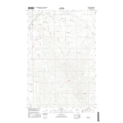
2017 Map of Curtis
USGS Topo · Published 2017About this map
Ruth, Curtis, and Pleasant Hill anchor this rural landscape in Lewis County, where the Chehalis River and its southern fork wind through a series of valleys and flatlands. The map reveals a settlement pattern largely dictated by the area's hydrology and terrain, with the open expanse of Boistfort Prairie to the southwest contrasting with the rising elevations of Crego Hill, Buckhorn Hill, and Sam Henry Mtn to the east.
Find a feature on this map
59 named features on this map. Tap any name to fly to it.
Don’t see what you’re looking for? This feature index may not catch every label — zoom into the map to look around manually.
Map Details
Editions of this 2017 Curtis Map
This is the sole edition of this map. No revisions or reprints were ever made.
Other maps of this area

1916 · Chehalis
USGS Topo · 1:125,000

1941 · Meskill
USGS Topo · 1:62,500

1941 · Olequa
USGS Topo · 1:62,500

1953 · Hoquiam
USGS Topo · 1:250,000

1953 · Castle Rock
USGS Topo · 1:62,500

1953 · Ryderwood
USGS Topo · 1:62,500

1953 · Adna
USGS Topo · 1:62,500

1954 · Centralia
USGS Topo · 1:62,500

1957 · Hoquiam
USGS Topo · 1:250,000

1958 · Hoquiam
USGS Topo · 1:250,000