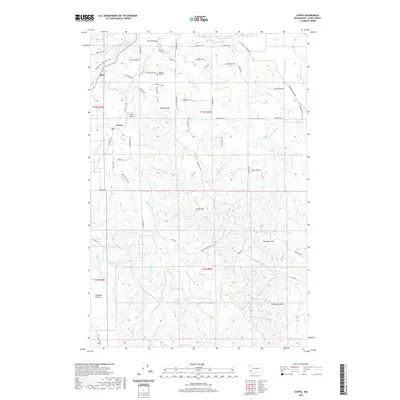
2020 Map of Curtis
USGS Topo · Published 2020About this map
The Chehalis River and its South Fork Chehalis River converge in this corner of Lewis County, defining a landscape of low hills and river prairies. Small rural settlements like Curtis and Ruth are connected by the Willapa Hills State Park Trail, reflecting the transition of former rail corridors into recreational paths. In the upland areas, prominent landmarks like Crego Hill, Buckhorn Hill, and Sam Henry Mtn rise above the drainage basins of Stearns Cr and Lake Cr.
Find a feature on this map
66 named features on this map. Tap any name to fly to it.
Don’t see what you’re looking for? This feature index may not catch every label — zoom into the map to look around manually.
Map Details
Editions of this 2020 Curtis Map
This is the sole edition of this map. No revisions or reprints were ever made.
Other maps of this area
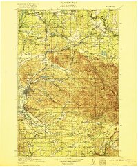
1916 · Chehalis
USGS Topo · 1:125,000
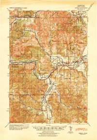
1941 · Meskill
USGS Topo · 1:62,500
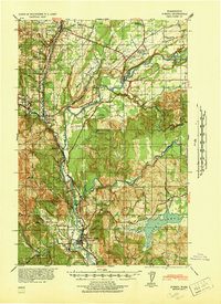
1941 · Olequa
USGS Topo · 1:62,500

1953 · Hoquiam
USGS Topo · 1:250,000
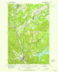
1953 · Castle Rock
USGS Topo · 1:62,500
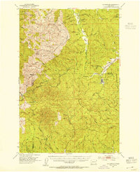
1953 · Ryderwood
USGS Topo · 1:62,500
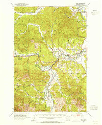
1953 · Adna
USGS Topo · 1:62,500
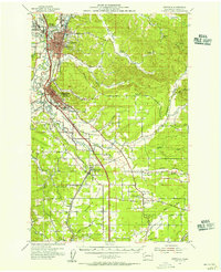
1954 · Centralia
USGS Topo · 1:62,500
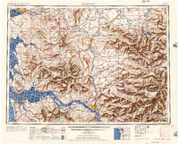
1957 · Hoquiam
USGS Topo · 1:250,000
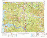
1958 · Hoquiam
USGS Topo · 1:250,000