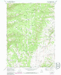
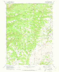
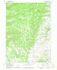
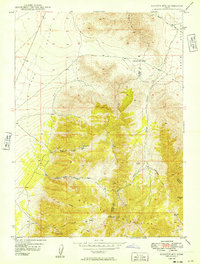
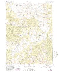
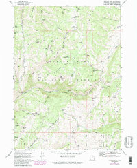
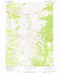
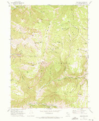
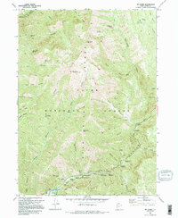
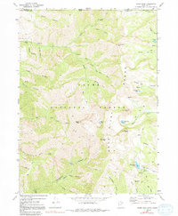
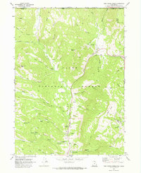
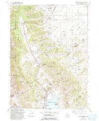
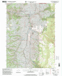
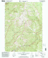
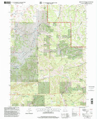
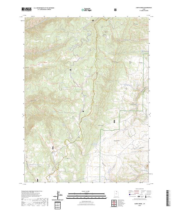
1969 Map of Curtis Ridge
USGS Topo · Published 1986About this map
Wasatch National Forest and Cache National Forest meet along a ridge line that defines this high-elevation landscape. The terrain is characterized by a complex network of springs and drainages, such as Kearl Spring, Thorsen Spring, and Bob Kiddys Spring, which feed into the rugged canyons of the area. The prevalence of named springs and small water bodies like Middle Davenport Res and Elmo Pond points to the importance of water management for livestock and wildlife in this part of northern Utah.
Find a feature on this map
53 named features on this map. Tap any name to fly to it.
Don’t see what you’re looking for? This feature index may not catch every label — zoom into the map to look around manually.
Map Details
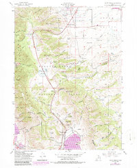
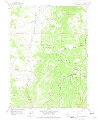
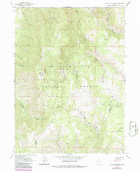
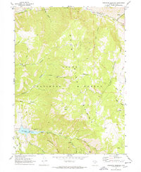
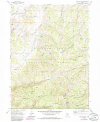
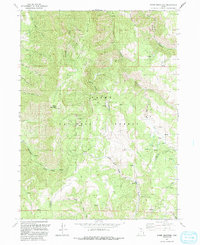
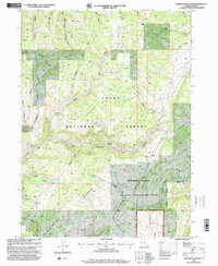
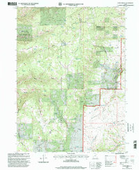
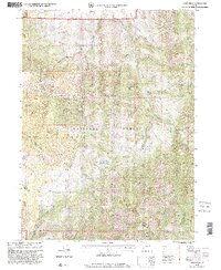
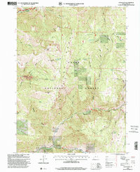
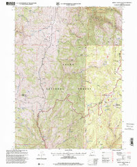
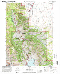
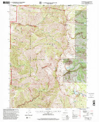
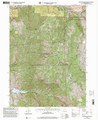
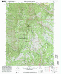
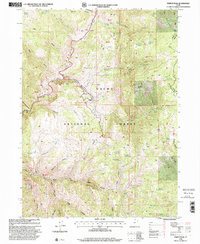
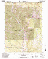
Editions of this 1969 Curtis Ridge Map
3 editions found
Historical Maps of Cache County Through Time
48 maps found
1949 Boulter Mts
Cache County, UT
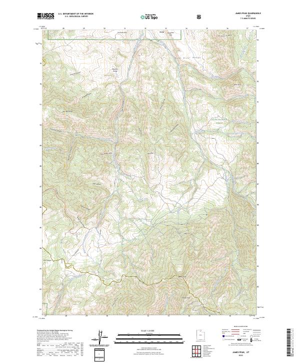
1955 James Peak
Cache County, UT
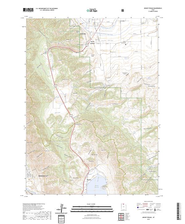
1955 Mount Pisgah
Cache County, UT
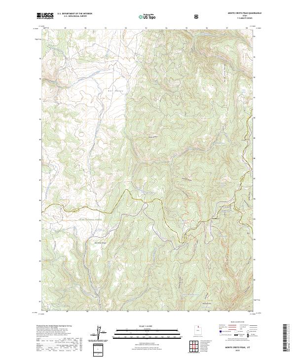
1964 Monte Cristo PK
Cache County, UT
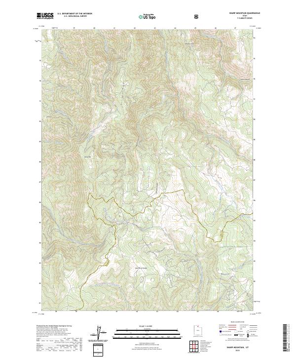
1964 Sharp Mountain
Cache County, UT
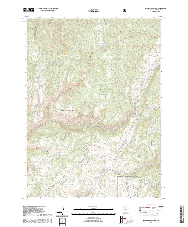
1969 Boulder Mtn
Cache County, UT
1969 Curtis Ridge
Cache County, UT
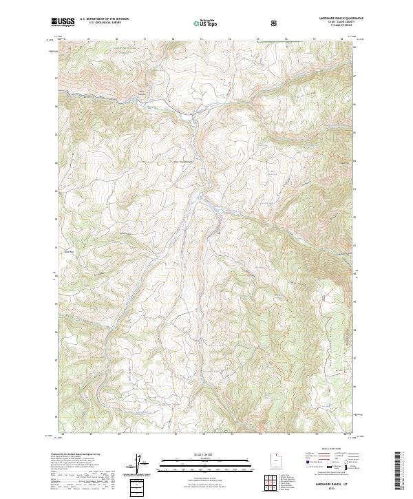
1969 Hardware Ranch
Cache County, UT
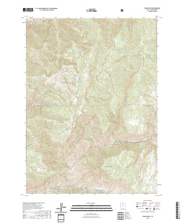
1969 Logan Peak
Cache County, UT
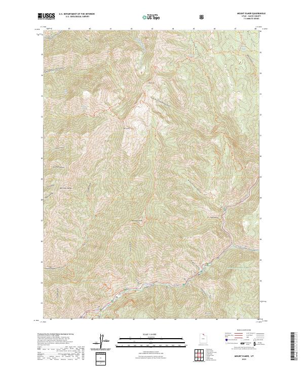
1969 Mt. Elmer
Cache County, UT
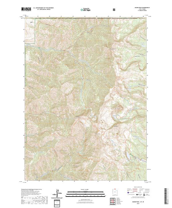
1969 Naomi Peak
Cache County, UT
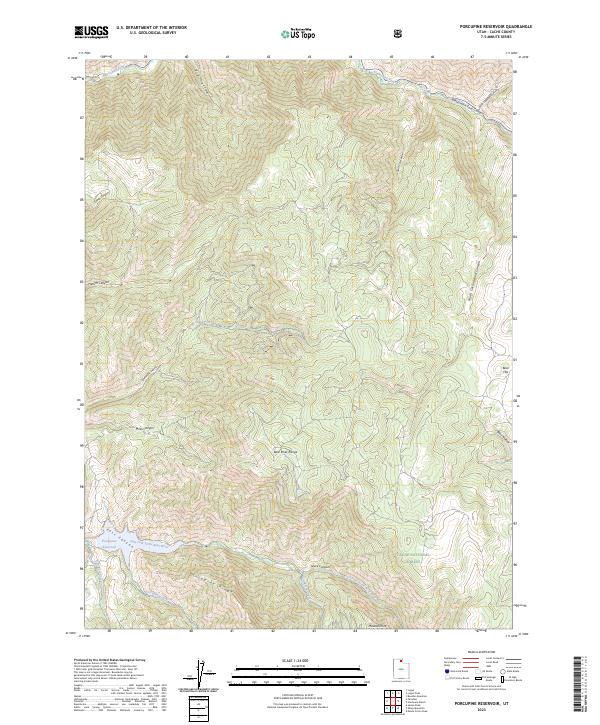
1969 Porcupine Reservoir
Cache County, UT
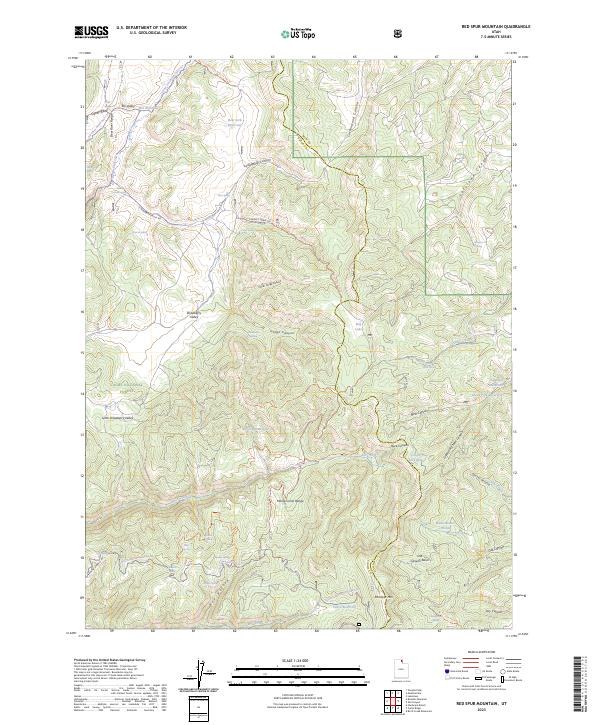
1969 Red Spur Mtn
Cache County, UT
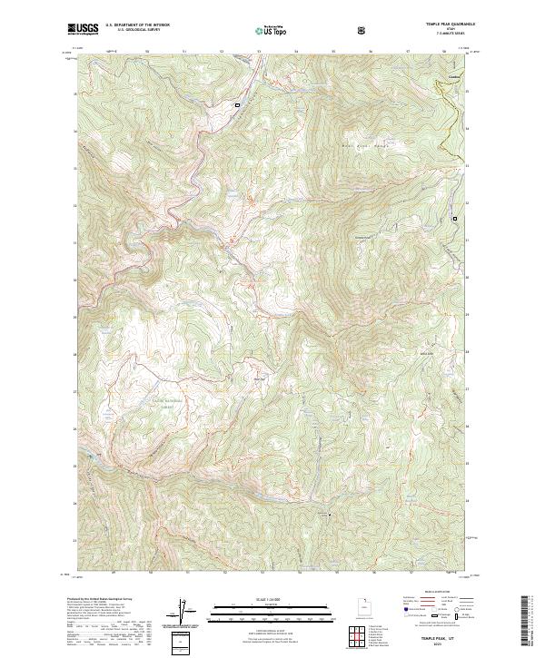
1969 Temple Peak
Cache County, UT
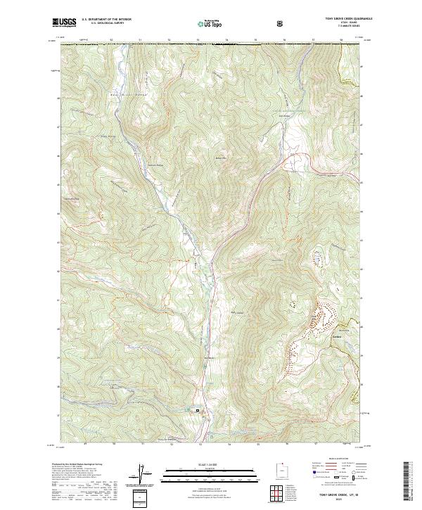
1969 Tony Grove Creek
Cache County, UT
1986 Red Spur Mtn
Cache County, UT
1991 James Peak
Cache County, UT
1991 Monte Cristo Peak
Cache County, UT
1991 Mount Pisgah
Cache County, UT
1991 Sharp Mountain
Cache County, UT
1998 Boulder Mountain
Cache County, UT
1998 Curtis Ridge
Cache County, UT
1998 Hardware Ranch
Cache County, UT
1998 James Peak
Cache County, UT
1998 Logan Peak
Cache County, UT
1998 Monte Cristo Peak
Cache County, UT
1998 Mount Elmer
Cache County, UT
1998 Mount Pisgah
Cache County, UT
1998 Naomi Peak
Cache County, UT
1998 Porcupine Reservoir
Cache County, UT
1998 Red Spur Mountain
Cache County, UT
1998 Sharp Mountain
Cache County, UT
1998 Temple Peak
Cache County, UT
1998 Tony Grove Creek
Cache County, UT
2023 Boulder Mountain
Cache County, UT
2023 Curtis Ridge
Cache County, UT
2023 Hardware Ranch
Cache County, UT
2023 James Peak
Cache County, UT
2023 Logan Peak
Cache County, UT
2023 Monte Cristo Peak
Cache County, UT
2023 Mount Elmer
Cache County, UT
2023 Mount Pisgah
Cache County, UT
2023 Naomi Peak
Cache County, UT
2023 Porcupine Reservoir
Cache County, UT
2023 Red Spur Mountain
Cache County, UT
2023 Sharp Mountain
Cache County, UT
2023 Temple Peak
Cache County, UT
2023 Tony Grove Creek
Cache County, UT