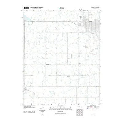
2010 Map of Cushing
USGS Topo · Published 2010About this map
Cushing serves as the primary urban center for this portion of Payne County, surrounded by a transition from industrial aviation to expansive agricultural land. The Cushing Municipal Airport and nearby Lone Oak Community Hall anchor the local social and economic infrastructure. The landscape is defined by a dense network of sectional roads and the serpentine routes of Big Creek and Elm Creek which flow toward the northwest.
Find a feature on this map
43 named features on this map. Tap any name to fly to it.
Don’t see what you’re looking for? This feature index may not catch every label — zoom into the map to look around manually.
Map Details
Editions of this 2010 Cushing Map
This is the sole edition of this map. No revisions or reprints were ever made.
Other maps of this area

1908 · Agra
USGS Topo · 1:62,500

1929 · Yale
USGS Topo · 1:62,500

1929 · Ripley
USGS Topo · 1:62,500

1931 · Drumright
USGS Topo · 1:62,500

1932 · Yale
USGS Topo · 1:62,500

1932 · Ripley
USGS Topo · 1:62,500

1954 · Oklahoma City
USGS Topo · 1:250,000

1955 · Enid
USGS Topo · 1:250,000

1957 · Oklahoma City
USGS Topo · 1:250,000

1958 · Enid
USGS Topo · 1:250,000