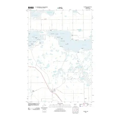
2010 Map of Cushing
USGS Topo · Published 2010About this map
Lake Alexander and Fish Trap Lake dominate this portion of Morrison County, where a dense network of smaller basins and wetlands defines the geography. The community of Cushing sits at a crossroads in the south, anchored by the Cushing Post Office and nearby Cushing Union Cemetery. This landscape reflects a transition from agricultural use to seasonal recreation, with landmarks like the Fishtrap Lake Campground and Cushing Landing serving as focal points for local activity.
Find a feature on this map
76 named features on this map. Tap any name to fly to it.
Don’t see what you’re looking for? This feature index may not catch every label — zoom into the map to look around manually.
Map Details
Editions of this 2010 Cushing Map
This is the sole edition of this map. No revisions or reprints were ever made.
Other maps of this area
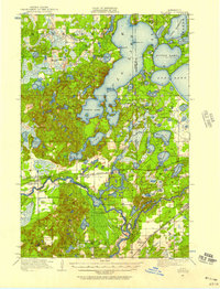
1916 · Pillager
USGS Topo · 1:62,500
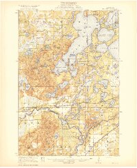
1919 · Pillager
USGS Topo · 1:62,500
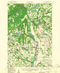
1948 · Belle Prairie
USGS Topo · 1:62,500
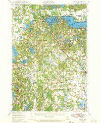
1948 · Cushing
USGS Topo · 1:62,500
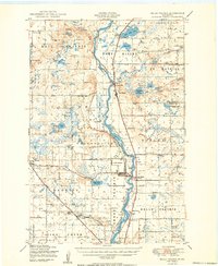
1950 · Belle Prairie
USGS Topo · 1:62,500
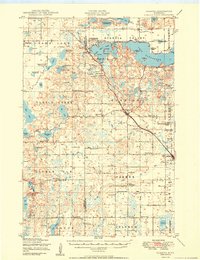
1950 · Cushing
USGS Topo · 1:62,500

1953 · Brainerd
USGS Topo · 1:250,000
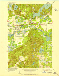
1954 · Pillager
USGS Topo · 1:24,000
1956 · Belle Prairie NW
USGS Topo · 1:24,000
1956 · Randall
USGS Topo · 1:24,000