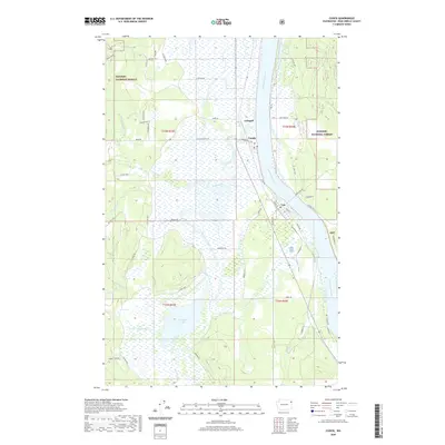
2020 Map of Cusick
USGS Topo · Published 2020About this map
The Pend Oreille River corridor anchors this portion of Pend Oreille County, where the riverside settlements of Cusick and Usk serve as local hubs for the surrounding timber and agricultural lands. To the west, the landscape is defined by the broad, marshy basin of Calispell Lake and its associated waterways, including Calispell Creek and Dorchester Cr. This low-lying drainage system contrasts sharply with the rising timberland of the Kaniksu National Forest that borders the valley. The map reveals a specialized local infrastructure of dikes and rural roads, such as Dike Rd and Cusick Meadow Rd, which navigate the seasonally wet terrain between the river and the mountains. Further north, the settlement of Calispell sits near the confluence of Small Creek and the main river valley, illustrating the historical reliance on these natural corridors for movement and settlement.
Find a feature on this map
58 named features on this map. Tap any name to fly to it.
Don’t see what you’re looking for? This feature index may not catch every label — zoom into the map to look around manually.
Map Details
Editions of this 2020 Cusick Map
This is the sole edition of this map. No revisions or reprints were ever made.
Other maps of this area

1936 · Newport
USGS Topo · 1:96,000

1942 · Newport
USGS Topo · 1:125,000

1958 · Sandpoint
USGS Topo · 1:250,000

1963 · Sandpoint
USGS Topo · 1:250,000

1968 · Cusick
USGS Topo · 1:24,000
1968 · Winchester Peak
USGS Topo · 1:24,000
1968 · Diamond Lake
USGS Topo · 1:24,000
1968 · Jared
USGS Topo · 1:24,000
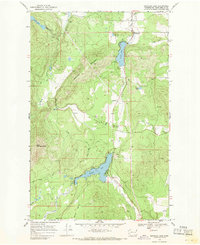
1968 · Sacheen Lake
USGS Topo · 1:24,000
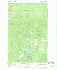
1968 · Browns Lake
USGS Topo · 1:24,000