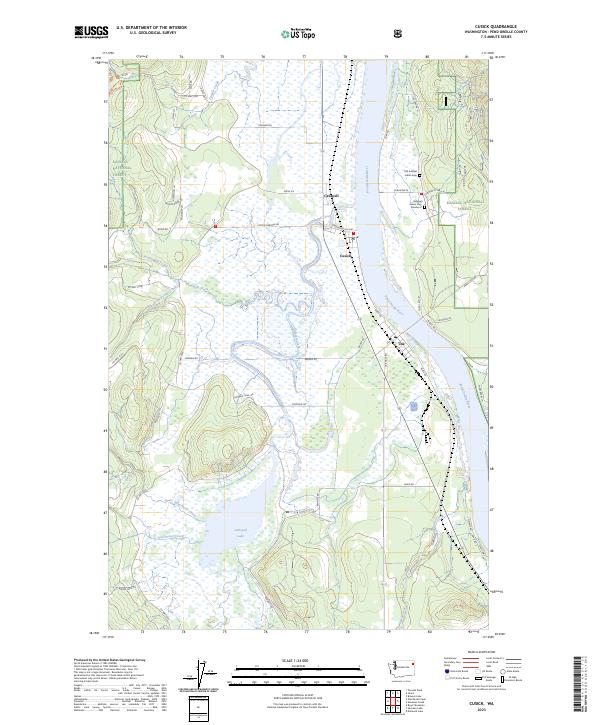
2023 Map of Cusick
USGS Topo · Published 2023About this map
The Pend Oreille River defines the geography of this northeastern Washington landscape, winding past the riverside settlements of Cusick and Usk. This region is characterized by significant tribal heritage, prominently marked by the Old Kalispel Indian Cem and Kalispel Indian Cem Number 2 near Pow Wow Pk on the eastern bank. West of the river, the terrain transitions into a complex system of wetlands and water bodies, including Calispell Lake and the marshy reaches of Calispell Creek. To the west and south, the elevation rises toward Middle Fork Ridge and into the Kaniksu National Forest. The map detail shows a network of rural roads such as Cusick Meadow Rd and Flowery Trail Rd, which provide access to timberlands and remote drainages like Winchester Creek and Small Creek.
Find a feature on this map
53 named features on this map. Tap any name to fly to it.
Don’t see what you’re looking for? This feature index may not catch every label — zoom into the map to look around manually.
Map Details
Editions of this 2023 Cusick Map
This is the sole edition of this map. No revisions or reprints were ever made.
Other maps of this area

1936 · Newport
USGS Topo · 1:96,000

1942 · Newport
USGS Topo · 1:125,000

1958 · Sandpoint
USGS Topo · 1:250,000

1963 · Sandpoint
USGS Topo · 1:250,000

1968 · Cusick
USGS Topo · 1:24,000
1968 · Winchester Peak
USGS Topo · 1:24,000
1968 · Diamond Lake
USGS Topo · 1:24,000
1968 · Jared
USGS Topo · 1:24,000
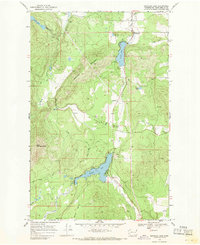
1968 · Sacheen Lake
USGS Topo · 1:24,000
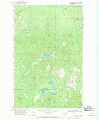
1968 · Browns Lake
USGS Topo · 1:24,000