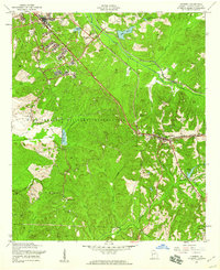
1955 Map of Cusseta
USGS Topo · Published 1959About this map
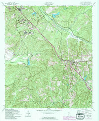
Fort Benning Military Reservation occupies a massive portion of this mid-century landscape, illustrating the significant military footprint in Chattahoochee County. The map details the intersection of military and civilian life, with a Hospital and numerous named hills like McKenna Hill and Reeve Hill situated within the reservation boundaries. To the east, the town of Cusseta serves as a local hub, anchored by the Seaboard Air Line and Central of Georgia railroads. This infrastructure supported the rural economy, which was punctuated by community landmarks such as Mt Olive Ch and St Pauls Ch. The terrain is defined by a dense network of waterways, including Ochillee Creek and Hichitee Creek, which feed into various ponds and springs like Sulphur Spring. Small settlements like Jamestown and remote outposts such as Friendship Sch reflect the dispersed nature of the county's residential patterns during the post-war era.
Find a feature on this map
37 named features on this map. Tap any name to fly to it.
Don’t see what you’re looking for? This feature index may not catch every label — zoom into the map to look around manually.
Map Details
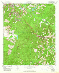
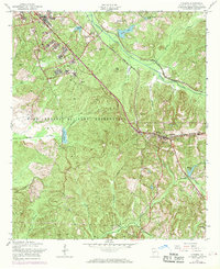
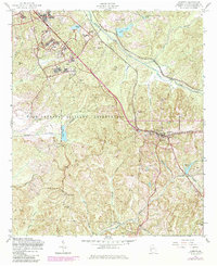
Editions of this 1955 Cusseta Map
5 editions found
Other maps of this area

1908 · Columbus
USGS Topo · 1:62,500

1929 · Columbus
USGS Topo · 1:48,000

1947 · Columbus
USGS Topo · 1:62,500

1949 · Glen Alta
USGS Topo · 1:24,000

1949 · Julia
USGS Topo · 1:24,000

1949 · Ochillee
USGS Topo · 1:24,000

1949 · Buena Vista NW
USGS Topo · 1:24,000

1949 · Columbus
USGS Topo · 1:24,000

1949 · Cusseta
USGS Topo · 1:24,000

1950 · Fort Benning
USGS Topo · 1:24,000