
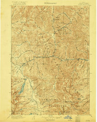
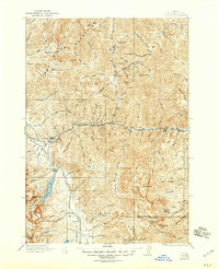
1922 Map of Custer
USGS Topo · Published 1922About this map
Custer and Bonanza stand as the primary centers of activity in this high-elevation mountain landscape, documented during surveys in 1916 and 1919. The economy of the era is clearly visible through industrial landmarks like the Sunbeam Mine near Yankee Fork and the Fisher Mill situated along Fourth of July Creek. Water management and early conservation efforts are evident in the presence of the Sunbeam Dam on the Salmon River and the Valley Creek Ranger Station in the Stanley Basin.
Find a feature on this map
91 named features on this map. Tap any name to fly to it.
Don’t see what you’re looking for? This feature index may not catch every label — zoom into the map to look around manually.
Map Details
Editions of this 1922 Custer Map
3 editions found
Other maps of this area

1891 · Bear Valley
USGS Topo · 1:125,000

1893 · Bear Valley
USGS Topo · 1:125,000

1894 · Rocky Bar
USGS Topo · 1:125,000

1895 · Hailey
USGS Topo · 1:125,000

1897 · Hailey
USGS Topo · 1:125,000

1900 · Sawtooth
USGS Topo · 1:125,000

1919 · Custer
USGS Topo · 1:125,000

1929 · Bayhorse
USGS Topo · 1:125,000

1930 · Casto
USGS Topo · 1:125,000

1955 · Hailey
USGS Topo · 1:250,000