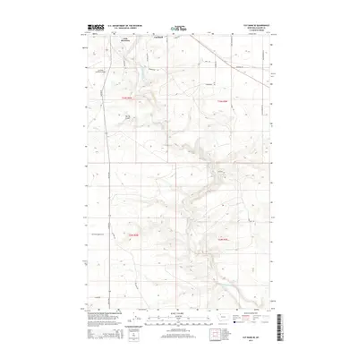
2014 Map of Cut Bank SE
USGS Topo · Published 2014About this map
Cut Bank Creek carves a deep, winding path through this portion of Glacier County, Montana, providing a stark geographic contrast to the surrounding high plains. The settlement of Little Browning sits in the northern section of the map, while the Cut Bank Municipal Airport serves as a modern aviation hub for the region. The landscape is defined by a rigorous grid of section lines and gravel roads, including the Valier Hwy and local routes like Gov Hugo Aronson Rd.
Find a feature on this map
28 named features on this map. Tap any name to fly to it.
Don’t see what you’re looking for? This feature index may not catch every label — zoom into the map to look around manually.
Map Details
Editions of this 2014 Cut Bank SE Map
This is the sole edition of this map. No revisions or reprints were ever made.
Other maps of this area

1907 · Blackfoot Res.
USGS Topo · 1:48,000

1909 · Cut Bank
USGS Topo · 1:125,000

1912 · Cut Bank
USGS Topo · 1:125,000

1920 · Dupuyer
USGS Topo · 1:125,000

1934 · Lake Frances
USGS Topo · 1:48,000

1934 · Valier
USGS Topo · 1:62,500

1937 · Valier
USGS Topo · 1:62,500

1937 · Lake Frances
USGS Topo · 1:62,500

1960 · Cut Bank
USGS Topo · 1:250,000

1963 · Cut Bank
USGS Topo · 1:250,000