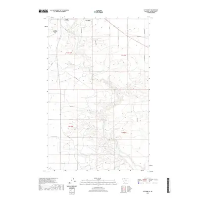
2020 Map of Cut Bank SE
USGS Topo · Published 2020About this map
Cut Bank Creek meanders deeply through the plains of Glacier County, carving a winding path southeast of the town of Cut Bank. The high prairie landscape is defined by its drainage systems, notably Spring Coulee and Spring Cr, which intersect the vast agricultural and ranching sections. This modern survey reflects the enduring infrastructure of the Blackfeet Indian Reservation and its surroundings, showing the intersection of rural life and transit.
Find a feature on this map
27 named features on this map. Tap any name to fly to it.
Don’t see what you’re looking for? This feature index may not catch every label — zoom into the map to look around manually.
Map Details
Editions of this 2020 Cut Bank SE Map
This is the sole edition of this map. No revisions or reprints were ever made.
Other maps of this area

1907 · Blackfoot Res.
USGS Topo · 1:48,000

1909 · Cut Bank
USGS Topo · 1:125,000

1912 · Cut Bank
USGS Topo · 1:125,000

1920 · Dupuyer
USGS Topo · 1:125,000

1934 · Lake Frances
USGS Topo · 1:48,000

1934 · Valier
USGS Topo · 1:62,500

1937 · Valier
USGS Topo · 1:62,500

1937 · Lake Frances
USGS Topo · 1:62,500

1960 · Cut Bank
USGS Topo · 1:250,000

1963 · Cut Bank
USGS Topo · 1:250,000