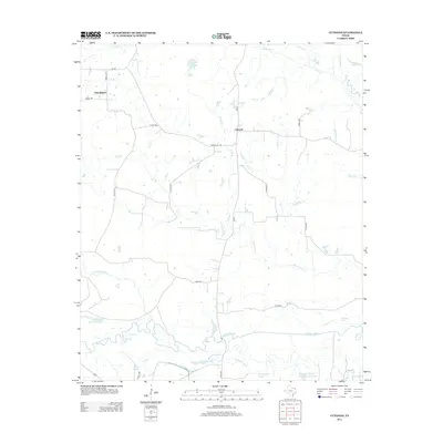
2013 Map of Cuthand
USGS Topo · Published 2013About this map
The Sulphur River carves a winding path across this landscape, defining a network of wetlands, sloughs, and oxbow lakes in the southern portion of Red River County. This environment is characterized by water features like Horseshoe Lake, Stout Lake, and Sanders Slough, which stand in contrast to the agricultural uplands further north. The small settlements of Cuthand and Pine Branch serve as the primary focal points of human activity, connected by a web of rural roads such as Farm Road 1487 and FM-910.
Find a feature on this map
34 named features on this map. Tap any name to fly to it.
Don’t see what you’re looking for? This feature index may not catch every label — zoom into the map to look around manually.
Map Details
Editions of this 2013 Cuthand Map
This is the sole edition of this map. No revisions or reprints were ever made.
Other maps of this area

1950 · Annona
USGS Topo · 1:24,000

1951 · Annona
USGS Topo · 1:24,000

1953 · Texarkana
USGS Topo · 1:250,000

1956 · Texarkana
USGS Topo · 1:250,000

1964 · Cuthand
USGS Topo · 1:24,000

1964 · Wilkinson
USGS Topo · 1:24,000

1964 · Talco
USGS Topo · 1:24,000

1964 · Hagansport
USGS Topo · 1:24,000

1964 · Bogata
USGS Topo · 1:24,000
1964 · Line Branch
USGS Topo · 1:24,000