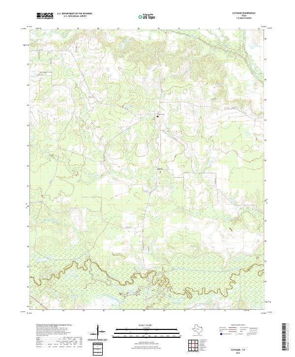
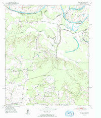
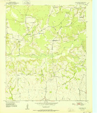
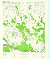
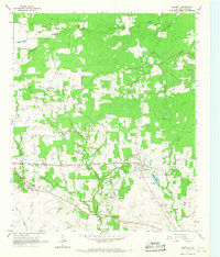
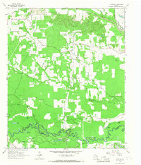
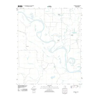
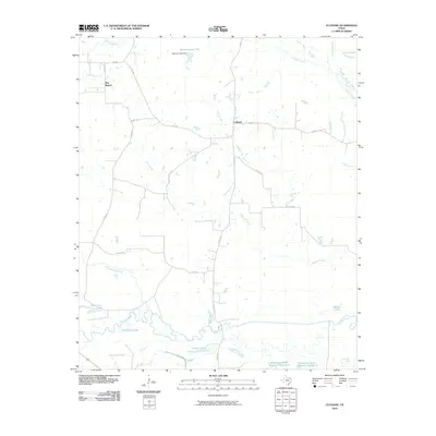
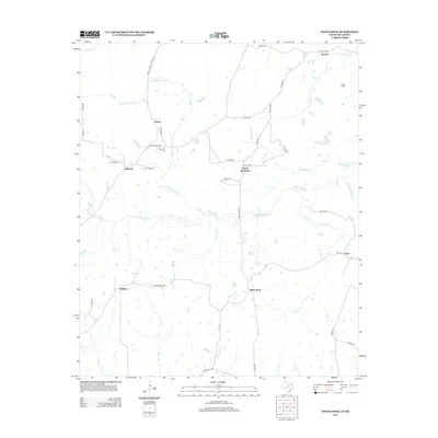
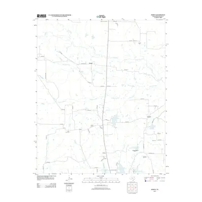
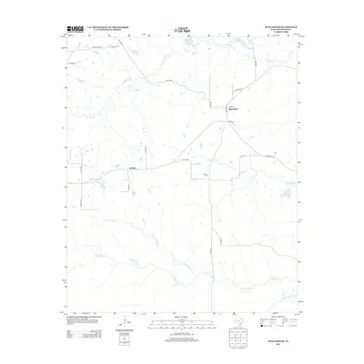
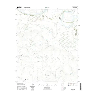
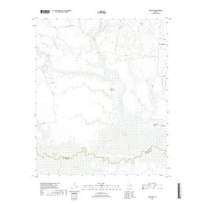
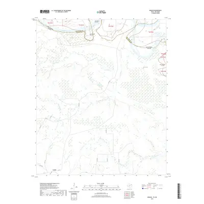
2022 Map of Cuthand
USGS Topo · Published 2022About this map
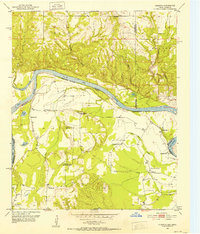
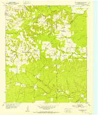
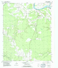
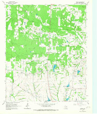
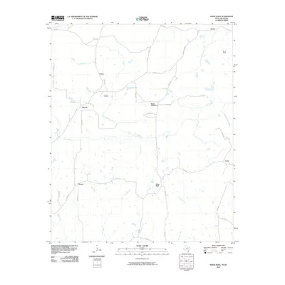
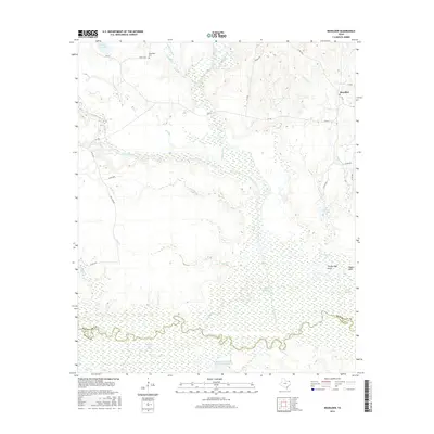
The Sulphur River meanders along the southern border of this Northeast Texas landscape, defining the boundary between Red River and Titus counties. This bottomland environment is characterized by a complex network of waterways, including Sanders Slough, Cottonwood Slough, and Timber Lake, which illustrate the natural drainage patterns of the river valley. The northern portion of the map is dominated by the Cuthand Cr watershed and the expansive Barnard Draw Lake.
Find a feature on this map
34 named features on this map. Tap any name to fly to it.
Don’t see what you’re looking for? This feature index may not catch every label — zoom into the map to look around manually.
Map Details
Editions of this 2022 Cuthand Map
This is the sole edition of this map. No revisions or reprints were ever made.
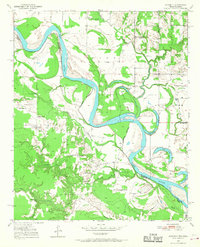
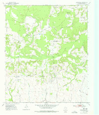
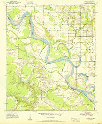
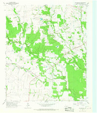
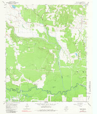
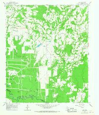
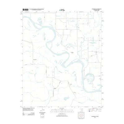
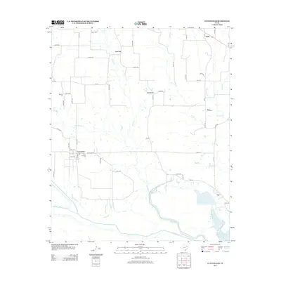
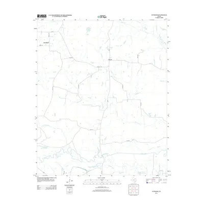
Historical Maps of Cuthand Through Time
80 maps found
1950 Acworth
Red River County, TX
1950 White Rock
Red River County, TX
1951 Acworth
Red River County, TX
1951 English
Red River County, TX
1951 Kiomatia
Red River County, TX
1951 Manchester
Red River County, TX
1951 Negley
Red River County, TX
1951 White Rock
Red River County, TX
1963 Cunningham
Red River County, TX
1964 Bagwell
Red River County, TX
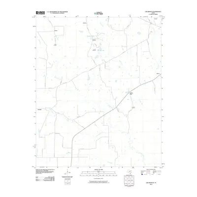
1964 Cuthand
Red River County, TX
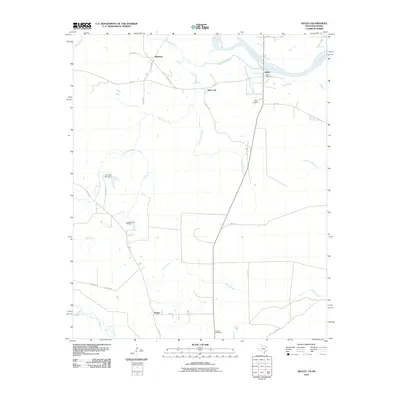
1964 Dimple
Red River County, TX
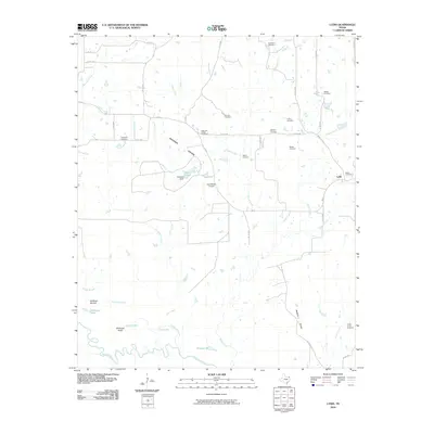
1964 Line Branch
Red River County, TX
1965 Boxelder
Red River County, TX
1965 Lydia
Red River County, TX
2010 Acworth
Red River County, TX
2010 Bagwell
Red River County, TX
2010 Boxelder
Red River County, TX
2010 Cunningham
Red River County, TX
2010 Cuthand
Red River County, TX
2010 Dimple
Red River County, TX
2010 English
Red River County, TX
2010 Kiomatia
Red River County, TX
2010 Line Branch
Red River County, TX
2010 Lydia
Red River County, TX
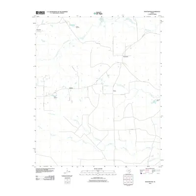
2010 Manchester
Red River County, TX
2010 Negley
Red River County, TX
2010 White Rock
Red River County, TX
2012 Bagwell
Red River County, TX
2012 Boxelder
Red River County, TX
2012 Line Branch
Red River County, TX
2012 White Rock
Red River County, TX
2013 Acworth
Red River County, TX
2013 Cunningham
Red River County, TX
2013 Cuthand
Red River County, TX
2013 Dimple
Red River County, TX
2013 English
Red River County, TX
2013 Kiomatia
Red River County, TX
2013 Lydia
Red River County, TX
2013 Manchester
Red River County, TX
2013 Negley
Red River County, TX
2016 Acworth
Red River County, TX
2016 Bagwell
Red River County, TX
2016 Boxelder
Red River County, TX
2016 Cunningham
Red River County, TX
2016 Cuthand
Red River County, TX
2016 Dimple
Red River County, TX
2016 English
Red River County, TX
2016 Kiomatia
Red River County, TX
2016 Line Branch
Red River County, TX

2016 Lydia
Red River County, TX
2016 Manchester
Red River County, TX
2016 Negley
Red River County, TX
2016 White Rock
Red River County, TX
2019 Acworth
Red River County, TX
2019 Bagwell
Red River County, TX
2019 Boxelder
Red River County, TX
2019 Cunningham
Red River County, TX
2019 Cuthand
Red River County, TX
2019 Dimple
Red River County, TX
2019 English
Red River County, TX
2019 Kiomatia
Red River County, TX
2019 Line Branch
Red River County, TX
2019 Lydia
Red River County, TX

2019 Manchester
Red River County, TX
2019 Negley
Red River County, TX
2019 White Rock
Red River County, TX
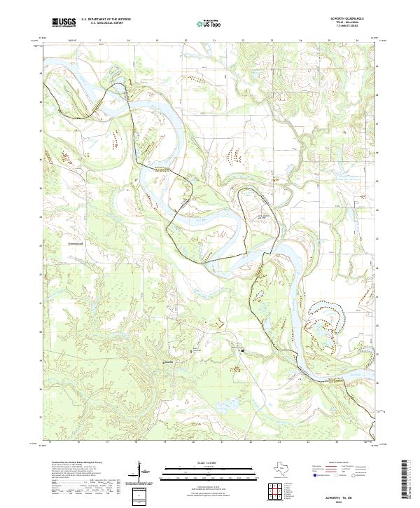
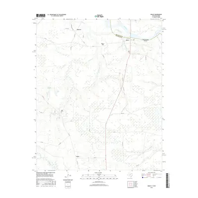
2022 Acworth
Red River County, TX
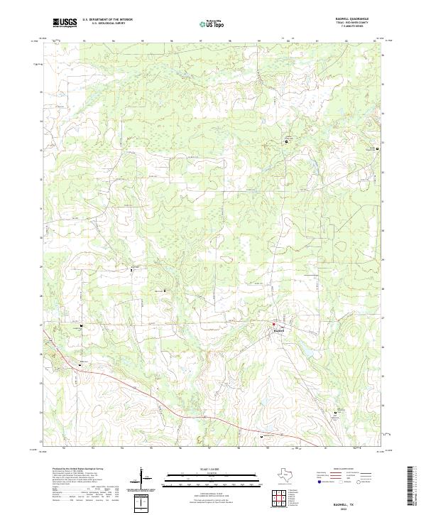
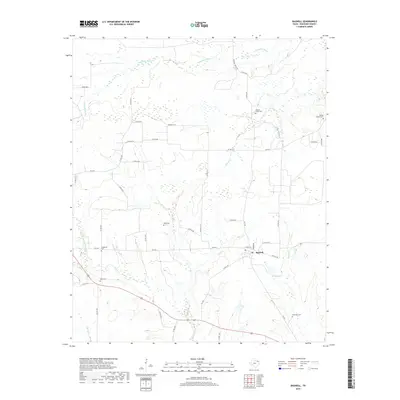
2022 Bagwell
Red River County, TX
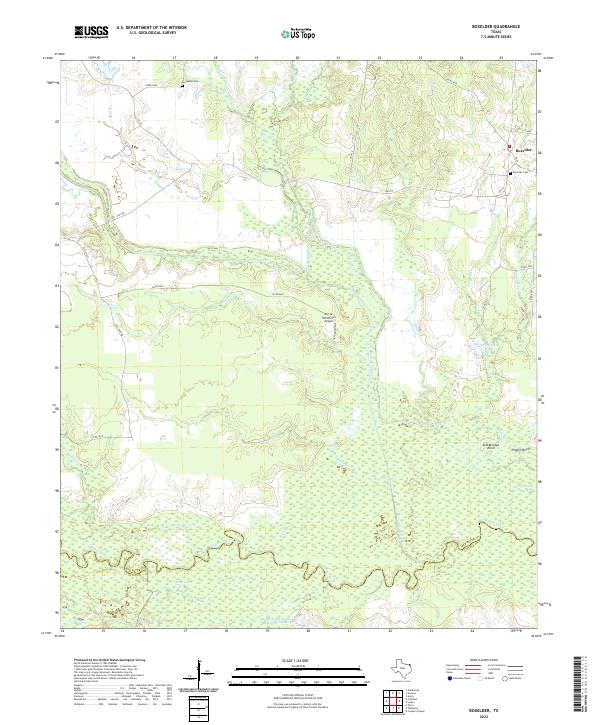
2022 Boxelder
Red River County, TX
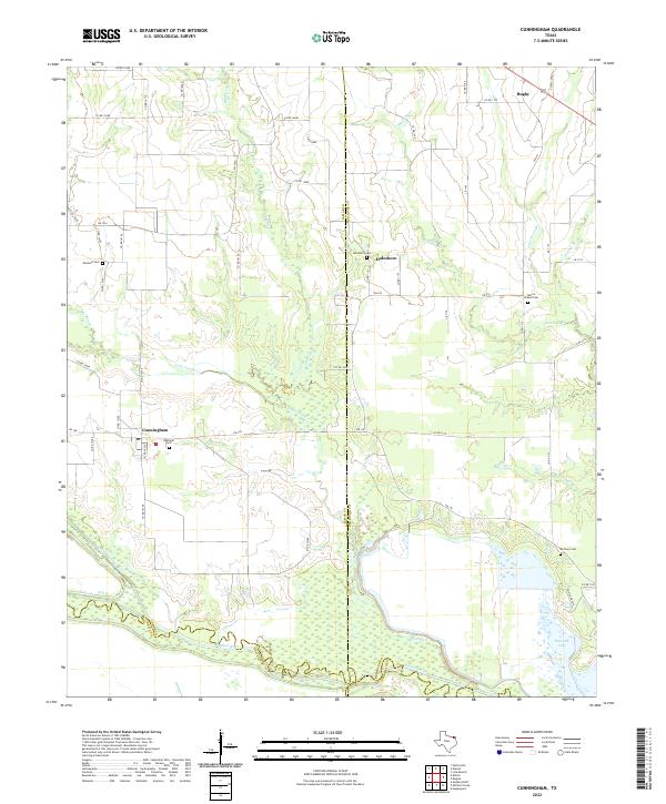
2022 Cunningham
Red River County, TX
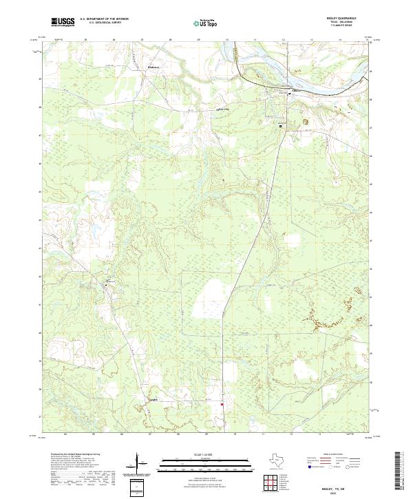
2022 Cuthand
Red River County, TX
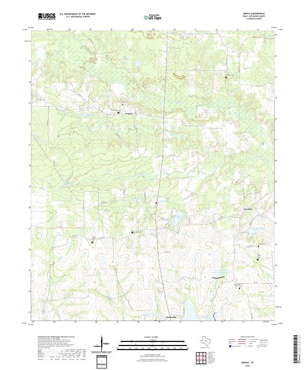
2022 Dimple
Red River County, TX
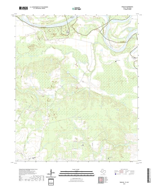
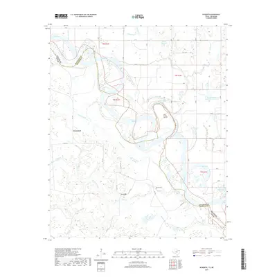
2022 English
Red River County, TX
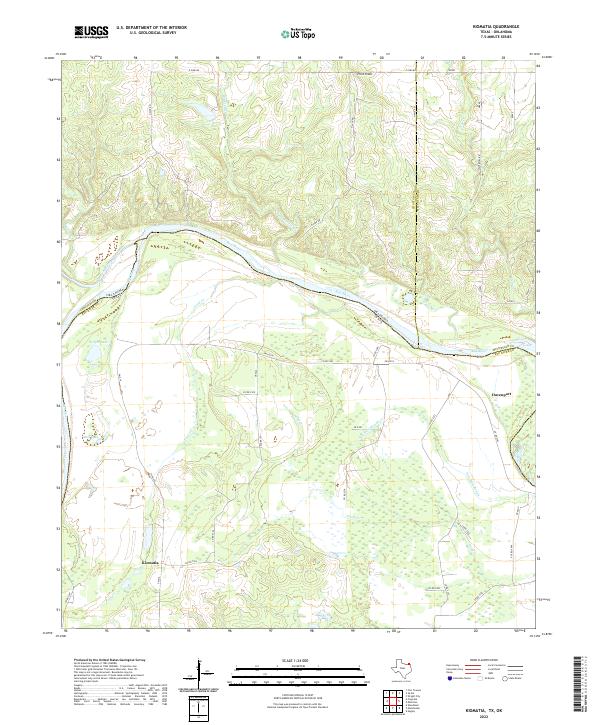
2022 Kiomatia
Red River County, TX
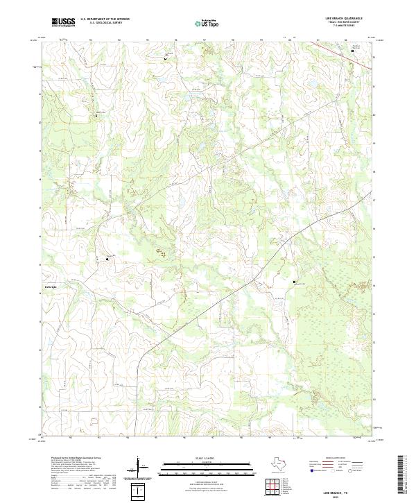
2022 Line Branch
Red River County, TX
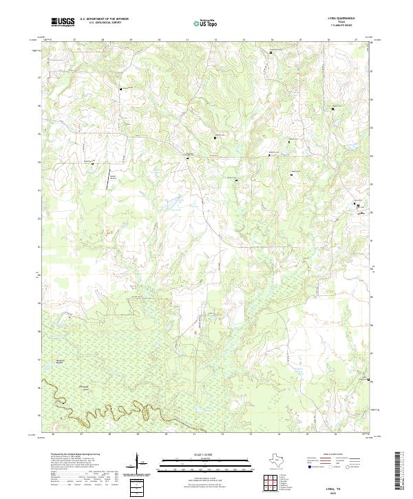
2022 Lydia
Red River County, TX
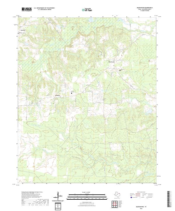
2022 Manchester
Red River County, TX
2022 Negley
Red River County, TX
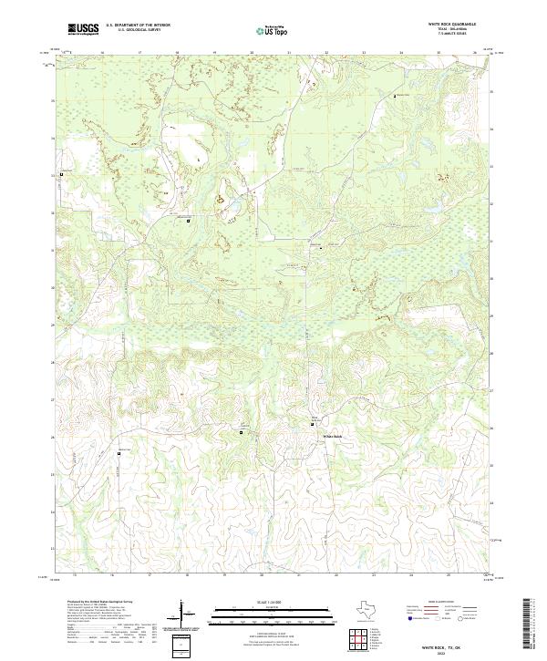
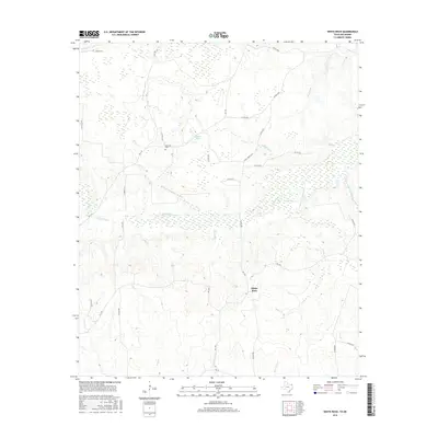
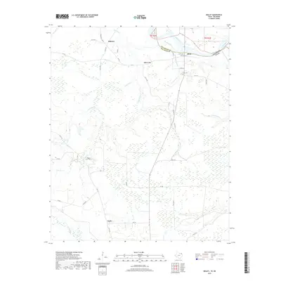
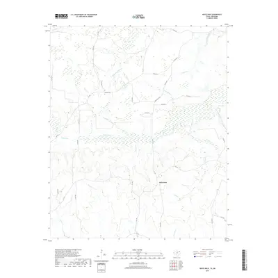
2022 White Rock
Red River County, TX