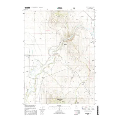
2017 Map of Cutler Dam
USGS Topo · Published 2017About this map
Cutler Dam stands as the central engineering feature of this landscape, impounding the Bear River to create the Cutler Reservoir. The terrain transitions from the high peaks of the Wellsville Mountains and the Wasatch Range in the south toward the agricultural flats of the Bear River Valley. This 2017 survey details a network of irrigation and infrastructure, including the W Side Canal and the West Side Canal, which have long supported the local farming economy.
Find a feature on this map
56 named features on this map. Tap any name to fly to it.
Don’t see what you’re looking for? This feature index may not catch every label — zoom into the map to look around manually.
Map Details
Editions of this 2017 Cutler Dam Map
This is the sole edition of this map. No revisions or reprints were ever made.
Other maps of this area

1914 · Logan
USGS Topo · 1:125,000

1916 · Logan
USGS Topo · 1:125,000

1954 · Ogden
USGS Topo · 1:250,000

1954 · Brigham City
USGS Topo · 1:250,000

1958 · Ogden
USGS Topo · 1:250,000

1958 · Brigham City
USGS Topo · 1:250,000

1960 · Ogden
USGS Topo · 1:250,000

1961 · Honeyville
USGS Topo · 1:24,000

1961 · Tremonton
USGS Topo · 1:24,000

1962 · Brigham City
USGS Topo · 1:250,000