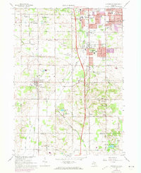
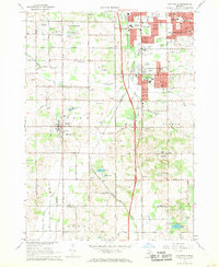
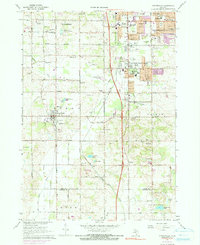
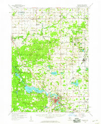
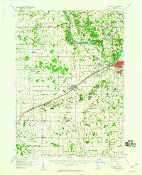
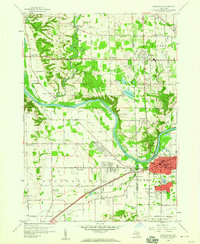
1967 Map of Cutlerville
USGS Topo · Published 1973About this map
Cutlerville and the surrounding townships of Byron and Gaines are captured here during a period of significant suburban expansion south of Grand Rapids. The landscape is a transition between established agricultural land and growing residential centers, marked by the extensive Pine Rest Hospital Complex and several local schools like Townline Sch and Emmons Sch. Transport infrastructure is dominated by the north-south corridor of the Penn Central railroad and major thoroughfares such as Division Ave and Clyde Park Avenue.
Find a feature on this map
71 named features on this map. Tap any name to fly to it.
Don’t see what you’re looking for? This feature index may not catch every label — zoom into the map to look around manually.
Map Details
Editions of this 1967 Cutlerville Map
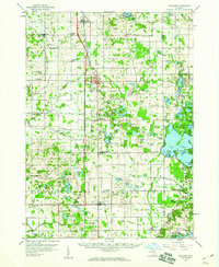
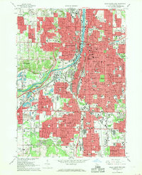
Other maps of this area

1914 · Grand Rapids
USGS Topo · 1:62,500

1943 · Grand Rapids
USGS Topo · 1:62,500
1958 · Allegan
USGS Topo · 1:62,500
1958 · Grandville
USGS Topo · 1:62,500
1958 · Grandville
USGS Topo · 1:24,000

1958 · Grand Rapids
USGS Topo · 1:250,000
1959 · Wayland
USGS Topo · 1:62,500

1961 · Grand Rapids
USGS Topo · 1:250,000

1962 · Grand Rapids
USGS Topo · 1:250,000
1967 · Grand Rapids West
USGS Topo · 1:24,000