
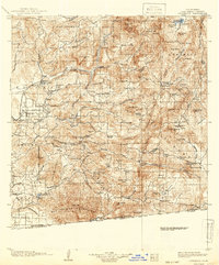
1903 Map of Cuyamaca
USGS Topo · Published 1903About this map
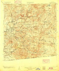
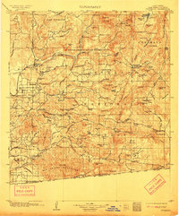
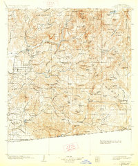
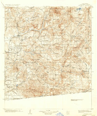
Capitan Grande Indian Reservation dominates the central landscape of this inland San Diego County survey, flanked by the drainage of the San Diego River and a significant irrigation system including a long Flume and several tunnels such as the Cape Horn Tunnel and Los Coches Tunnel. The map documents a pivotal era of water management and transit, showing the Cuyamaca Reservoir in the north and the early stages of the San Diego Cuyamaca and Eastern R.R. connecting Lakeside and Foster. Further south, the map traces the international Boundary Line with Mexico near Tecate, while interior valleys are dotted with small ranching hubs and outposts like Honey Springs Ranch and Pine Valley Station. The distribution of resources is evident through the placement of Barrett Dam and Morena Dam, reflecting the region's early 20th-century focus on securing water for coastal growth.
Find a feature on this map
132 named features on this map. Tap any name to fly to it.
Don’t see what you’re looking for? This feature index may not catch every label — zoom into the map to look around manually.
Map Details
Editions of this 1903 Cuyamaca Map
6 editions found
Other maps of this area

1893 · El Cajon
USGS Topo · 1:62,500

1893 · Escondido
USGS Topo · 1:62,500

1901 · Elcajon
USGS Topo · 1:62,500

1901 · Escondido
USGS Topo · 1:62,500

1901 · San Luis Rey
USGS Topo · 1:125,000

1903 · La Jolla
USGS Topo · 1:62,500

1903 · Elcajon
USGS Topo · 1:62,500

1903 · Ramona
USGS Topo · 1:125,000

1904 · San Diego
USGS Topo · 1:62,500

1904 · Southern California Sheet No. 2
USGS Topo · 1:250,000