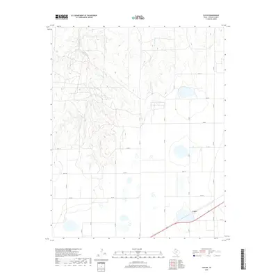
2019 Map of Cuyler
USGS Topo · Published 2019About this map
Cuyler stands as a focal point in this portion of the Texas Panhandle, situated along a transportation corridor where local roads and highway infrastructure converge. The landscape is defined by the headwaters of the East Dixon Creek system, which carves a network of drainages across the western half of the sheet. These intermittent waterways, including E Dixon Cr and the nearby W Fork Bear Cr, illustrate the drainage patterns essential to understanding the local topography of Carson County. The transition from the dissected creek breaks to the flatter agricultural plains is evidenced by the strict grid of county roads, such as Co RD 16 and Co RD T, which service the scattered farms and ranch lands. This 2019 survey documents the enduring rural character of the region, anchored by the namesake settlement and a well-defined network of rural routes like Fm 2385.
Find a feature on this map
19 named features on this map. Tap any name to fly to it.
Don’t see what you’re looking for? This feature index may not catch every label — zoom into the map to look around manually.
Map Details
Editions of this 2019 Cuyler Map
This is the sole edition of this map. No revisions or reprints were ever made.
Other maps of this area

1953 · Borger SE
USGS Topo · 1:24,000

1953 · McBride
USGS Topo · 1:24,000

1954 · Amarillo
USGS Topo · 1:250,000

1958 · Amarillo
USGS Topo · 1:250,000

1963 · Skellytown
USGS Topo · 1:24,000

1965 · White Deer
USGS Topo · 1:24,000

1965 · Abell
USGS Topo · 1:24,000

1966 · Panhandle West
USGS Topo · 1:24,000

1966 · Panhandle East
USGS Topo · 1:24,000

1966 · Cuyler
USGS Topo · 1:24,000