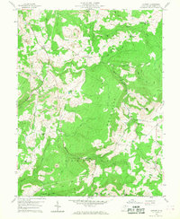
1959 Map of Cuzzart
USGS Topo · Published 1968About this map
Cuzzart and the surrounding high country of the Pleasant Mountains define this mid-century topographic record of Preston County. The landscape is characterized by a network of rural schools and churches that served these upland communities, including Mountain View Sch and the Centenary Ch. Local infrastructure is anchored by the historic Brandonville Turnpike, which winds through the terrain alongside numerous watercourses like Muddy Creek and Roaring Creek.
Find a feature on this map
55 named features on this map. Tap any name to fly to it.
Don’t see what you’re looking for? This feature index may not catch every label — zoom into the map to look around manually.
Map Details
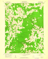
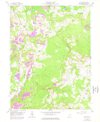
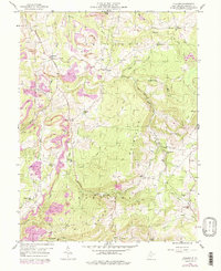
Editions of this 1959 Cuzzart Map
4 editions found
Other maps of this area

1886 · St. George
USGS Topo · 1:125,000

1891 · St. George
USGS Topo · 1:125,000

1895 · Piedmont
USGS Topo · 1:125,000

1899 · Oakland
USGS Topo · 1:62,500

1900 · Accident
USGS Topo · 1:62,500

1900 · Oakland
USGS Topo · 1:62,500

1904 · Bruceton
USGS Topo · 1:62,500

1907 · Kingwood
USGS Topo · 1:62,500

1925 · Kingwood
USGS Topo · 1:62,500

1926 · Bruceton
USGS Topo · 1:62,500