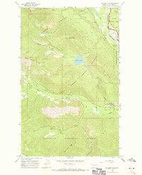
1966 Map of Cyclone Lake
USGS Topo · Published 1971About this map
Cyclone Peak, topped by a prominent Lookout Tower, anchors this high-elevation landscape within the Flathead National Forest. To the east, the North Fork of the Flathead River carves a wide valley floor, creating the distinct riverine landscape of Home Ranch Bottoms and the open Lone Pine Prairie. This 1960s survey illustrates a wilderness being managed for multiple uses, showing a transition from the preserved wilderness of Glacier National Park across the river to the state and national forest lands to the west.
Find a feature on this map
27 named features on this map. Tap any name to fly to it.
Don’t see what you’re looking for? This feature index may not catch every label — zoom into the map to look around manually.
Map Details
Editions of this 1966 Cyclone Lake Map
2 editions found
Other maps of this area

1906 · Kintla Lakes
USGS Topo · 1:125,000

1938 · Kintla Lakes
USGS Topo · 1:125,000

1957 · Kalispell
USGS Topo · 1:250,000

1960 · Kalispell
USGS Topo · 1:250,000

1961 · Kalispell
USGS Topo · 1:250,000
1966 · Demers Ridge
USGS Topo · 1:24,000
1966 · Huckleberry Mountain
USGS Topo · 1:24,000
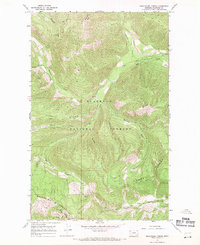
1966 · Skookoleel Creek
USGS Topo · 1:24,000
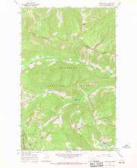
1966 · Moose Peak
USGS Topo · 1:24,000
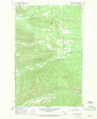
1966 · Whale Buttes
USGS Topo · 1:24,000