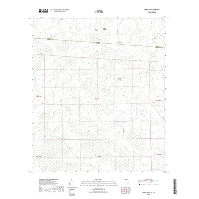
2018 Map of Cypress Creek
USGS Topo · Published 2018About this map
The dense wetlands and timberlands of the Florida-Georgia border define this 2018 survey of the Cypress Creek area. Straddling the line between Echols County, Georgia, and Hamilton County, Florida, the landscape is a complex network of bays and swamps, including Bee Haven Bay and Rice Field Swamp. The topography is characterized by subtle elevation changes that create distinct environments like Martin Hammock, a settlement area surrounded by lower-lying wetland features such as Christmas Bay and Bell Creek Swamp.
Find a feature on this map
28 named features on this map. Tap any name to fly to it.
Don’t see what you’re looking for? This feature index may not catch every label — zoom into the map to look around manually.
Map Details
Editions of this 2018 Cypress Creek Map
This is the sole edition of this map. No revisions or reprints were ever made.
Other maps of this area

1954 · Valdosta
USGS Topo · 1:250,000

1955 · Jasper
USGS Topo · 1:24,000

1955 · Cypress Creek
USGS Topo · 1:24,000

1955 · Fargo SW
USGS Topo · 1:24,000

1958 · Valdosta
USGS Topo · 1:250,000

1959 · Valdosta
USGS Topo · 1:250,000

1961 · Hillcoat
USGS Topo · 1:24,000

1962 · Genoa
USGS Topo · 1:24,000

1968 · Needmore
USGS Topo · 1:24,000
1969 · Benton
USGS Topo · 1:24,000