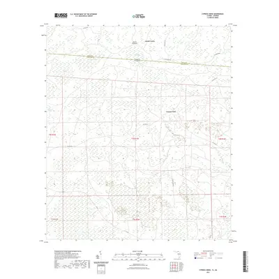
2021 Map of Cypress Creek
USGS Topo · Published 2021About this map
Martin Hammock and the surrounding wetlands define this reach of the Florida-Georgia state line, where Hamilton County meets Echols County. This low-lying landscape is characterized by a dense network of swampy bays and slow-moving watercourses, including Bee Haven Bay, Christmas Bay, and Rice Field Swamp. The map provides a detailed look at how the terrain dictated early local naming conventions, with family-named hammocks rising slightly above the saturated soils of Bell Creek Swamp and Cypress Creek Swamp.
Find a feature on this map
28 named features on this map. Tap any name to fly to it.
Don’t see what you’re looking for? This feature index may not catch every label — zoom into the map to look around manually.
Map Details
Editions of this 2021 Cypress Creek Map
This is the sole edition of this map. No revisions or reprints were ever made.
Other maps of this area

1954 · Valdosta
USGS Topo · 1:250,000

1955 · Jasper
USGS Topo · 1:24,000

1955 · Cypress Creek
USGS Topo · 1:24,000

1955 · Fargo SW
USGS Topo · 1:24,000

1958 · Valdosta
USGS Topo · 1:250,000

1959 · Valdosta
USGS Topo · 1:250,000

1961 · Hillcoat
USGS Topo · 1:24,000

1962 · Genoa
USGS Topo · 1:24,000

1968 · Needmore
USGS Topo · 1:24,000
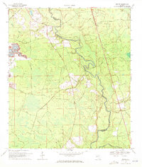
1969 · Benton
USGS Topo · 1:24,000