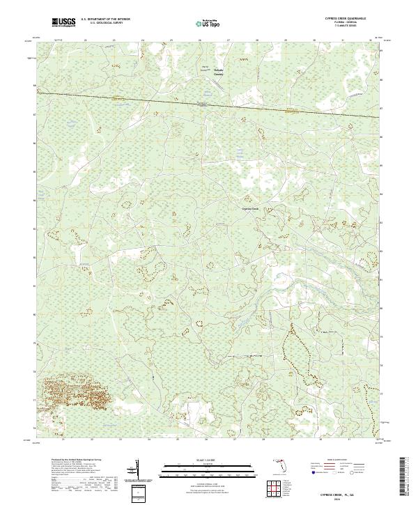
2024 Map of Cypress Creek
USGS Topo · Published 2024About this map
Georgia Florida state line divisions define the upper reaches of this quadrangle, where Echols and Hamilton counties meet amidst a landscape dominated by expansive wetlands. The terrain is characterized by a series of distinct hydrological features, including the swampy basins of Rice Field Swamp, Bell Creek Swamp, and Cypress Creek Swamp. These interconnected systems feed into Cypress Creek and Rocky Creek, illustrating the natural drainage patterns of the northern Florida panhandle.
Find a feature on this map
26 named features on this map. Tap any name to fly to it.
Don’t see what you’re looking for? This feature index may not catch every label — zoom into the map to look around manually.
Map Details
Editions of this 2024 Cypress Creek Map
This is the sole edition of this map. No revisions or reprints were ever made.
Other maps of this area

1954 · Valdosta
USGS Topo · 1:250,000

1955 · Jasper
USGS Topo · 1:24,000

1955 · Cypress Creek
USGS Topo · 1:24,000

1955 · Fargo SW
USGS Topo · 1:24,000

1958 · Valdosta
USGS Topo · 1:250,000

1959 · Valdosta
USGS Topo · 1:250,000

1961 · Hillcoat
USGS Topo · 1:24,000

1962 · Genoa
USGS Topo · 1:24,000

1968 · Needmore
USGS Topo · 1:24,000
1969 · Benton
USGS Topo · 1:24,000