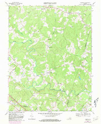
1968 Map of Dabneys
USGS Topo · Published 1981About this map
The South Anna River carves a winding path through this rural landscape on the border of Louisa, Hanover, and Goochland counties. This interior Piedmont region is defined by a network of small agricultural settlements and crossroads communities established along the ridge lines and creek valleys. Clusters of historical interest appear at Holly Grove and Dabneys, while the community of Locust Creek sits near the northern boundary. The density of country churches, such as Salem Ch, Mt Olivet Ch, and Hopeful Ch, speaks to the long-standing social fabric of these central Virginia townships. Extensive woodland coverage and the absence of heavy industrial development emphasize the area's persistent rural character during the mid-to-late twentieth century, even as modern infrastructure like Pipelines began to cross the terrain.
Find a feature on this map
36 named features on this map. Tap any name to fly to it.
Don’t see what you’re looking for? This feature index may not catch every label — zoom into the map to look around manually.
Map Details
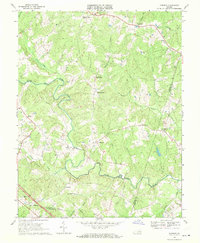
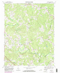
Editions of this 1968 Dabneys Map
3 editions found
Other maps of this area

1890 · Goochland
USGS Topo · 1:125,000

1892 · Goochland
USGS Topo · 1:125,000

1942 · Pendleton
USGS Topo · 1:24,000

1942 · Buckner
USGS Topo · 1:24,000

1942 · Beaverdam
USGS Topo · 1:24,000

1943 · Goochland
USGS Topo · 1:31,680

1943 · Mabelton
USGS Topo · 1:31,680

1943 · Perkinsville
USGS Topo · 1:31,680

1943 · Pendleton
USGS Topo · 1:31,680
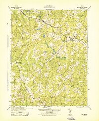
1943 · Buckner
USGS Topo · 1:31,680