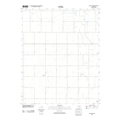
2009 Map of Dacoma SE
USGS Topo · Published 2009About this map
Good Hope Cemetery sits as a quiet landmark amidst the agricultural grid of Alfalfa County, Oklahoma. This landscape is defined by the section line roads that intersect at regular intervals, such as E0330 Rd and N2480 Rd, reflecting the systematic settlement of the Great Plains. The topography is subtly shaped by the winding courses of Eagle Chief Creek and Sand Creek, which provide drainage across the otherwise level territory. In the southeastern portion of the map, the Stewart Farms Airport indicates the modern utility of the land for local aviation and agricultural operations. The lack of large urban centers emphasizes the rural character of this region, where life revolves around the land and the networks of roads that connect these isolated farms and landmarks.
Find a feature on this map
20 named features on this map. Tap any name to fly to it.
Don’t see what you’re looking for? This feature index may not catch every label — zoom into the map to look around manually.
Map Details
Editions of this 2009 Dacoma SE Map
This is the sole edition of this map. No revisions or reprints were ever made.
Other maps of this area

1955 · Woodward
USGS Topo · 1:250,000

1958 · Woodward
USGS Topo · 1:250,000

1968 · Carmen
USGS Topo · 1:24,000

1969 · Dacoma
USGS Topo · 1:24,000

1969 · Lambert
USGS Topo · 1:24,000

1969 · Dacoma SW
USGS Topo · 1:24,000

1969 · Glass Mountains NW
USGS Topo · 1:24,000

1969 · Hopeton
USGS Topo · 1:24,000

1969 · Cleo Springs
USGS Topo · 1:24,000

1969 · Glass Mountains NE
USGS Topo · 1:24,000