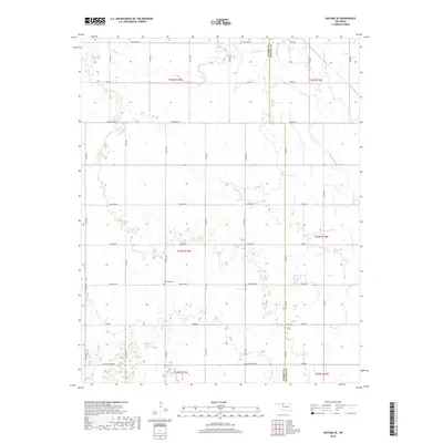
2018 Map of Dacoma SE
USGS Topo · Published 2018About this map
The border of Woods and Alfalfa Counties defines this landscape in northwest Oklahoma, where the land is organized by an exacting grid of section roads and rural routes. The northern reaches are shaped by the winding courses of Sand Creek and Eagle Chief Creek, which provide the only significant break in the geometric township and range lines. This 2018 survey reveals a modern rural environment where historic land divisions persist alongside contemporary infrastructure like the Aline Blacktop Rd.
Find a feature on this map
35 named features on this map. Tap any name to fly to it.
Don’t see what you’re looking for? This feature index may not catch every label — zoom into the map to look around manually.
Map Details
Editions of this 2018 Dacoma SE Map
This is the sole edition of this map. No revisions or reprints were ever made.
Other maps of this area

1955 · Woodward
USGS Topo · 1:250,000

1958 · Woodward
USGS Topo · 1:250,000

1968 · Carmen
USGS Topo · 1:24,000

1969 · Dacoma
USGS Topo · 1:24,000

1969 · Lambert
USGS Topo · 1:24,000

1969 · Dacoma SW
USGS Topo · 1:24,000

1969 · Glass Mountains NW
USGS Topo · 1:24,000

1969 · Hopeton
USGS Topo · 1:24,000

1969 · Cleo Springs
USGS Topo · 1:24,000

1969 · Glass Mountains NE
USGS Topo · 1:24,000