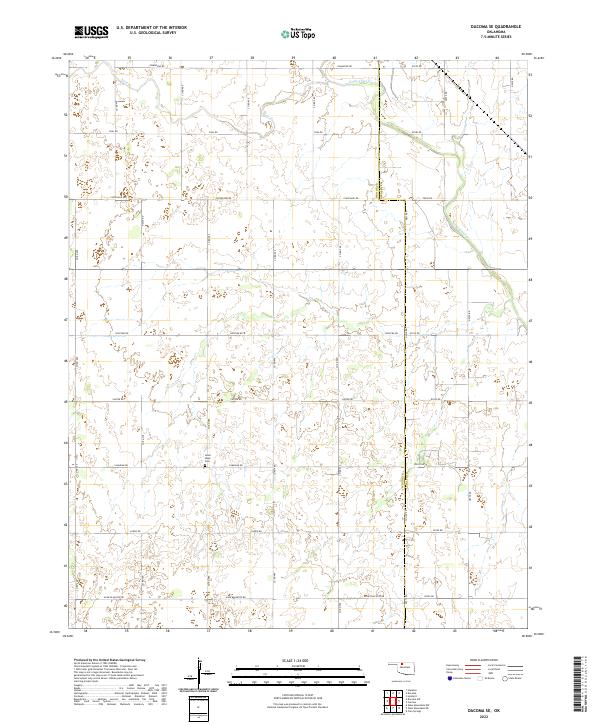
2022 Map of Dacoma SE
USGS Topo · Published 2022About this map
Good Hope Cem serves as a primary historical landmark on this section of the Oklahoma plains, situated near the intersection of Co RD 480 and Canadian Rd. The landscape is defined by the section-line road grid typical of the region, punctuated by the winding paths of Eagle Chief Cr in the northeast and Sand Cr in the northwest. These waterways provide the only break in the geometric precision of the township and range system that divides the border of Woods and Alfalfa counties.
Find a feature on this map
36 named features on this map. Tap any name to fly to it.
Don’t see what you’re looking for? This feature index may not catch every label — zoom into the map to look around manually.
Map Details
Editions of this 2022 Dacoma SE Map
This is the sole edition of this map. No revisions or reprints were ever made.
Other maps of this area

1955 · Woodward
USGS Topo · 1:250,000

1958 · Woodward
USGS Topo · 1:250,000

1968 · Carmen
USGS Topo · 1:24,000

1969 · Dacoma
USGS Topo · 1:24,000

1969 · Lambert
USGS Topo · 1:24,000

1969 · Dacoma SW
USGS Topo · 1:24,000

1969 · Glass Mountains NW
USGS Topo · 1:24,000

1969 · Hopeton
USGS Topo · 1:24,000

1969 · Cleo Springs
USGS Topo · 1:24,000

1969 · Glass Mountains NE
USGS Topo · 1:24,000