Loading...
Loading map...2021 Map of Dadeville
USGS Topo · Published 2021About this map
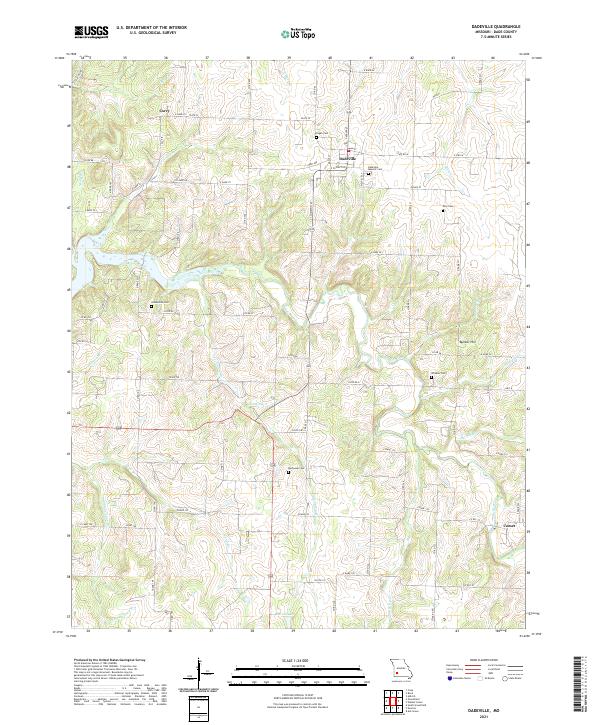
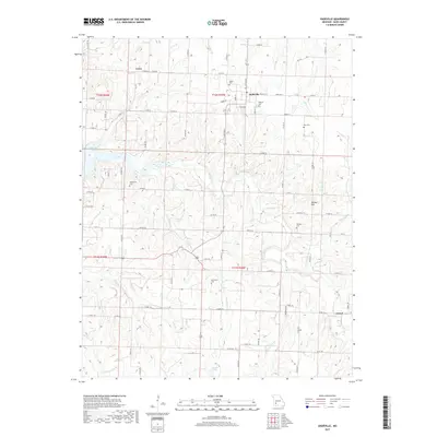
Dadeville serves as the central hub of this agricultural and creek-carved landscape, situated near the intersection of State Rd W and S Clompton. The surrounding terrain is defined by the winding course of the Sac River and its numerous tributaries, including Cave Spring Br and Burney Br. For those researching local lineages, the map is particularly rich in cemetery data, identifying sites such as Logan Cem, Rice Cem, and the Dadeville Masonic Cem.
Find a feature on this map
85 named features on this map. Tap any name to fly to it.
Don’t see what you’re looking for? This feature index may not catch every label — zoom into the map to look around manually.
Map Details
Date Portrayed2021
Date Published2021
PublisherU.S. Geological Survey
Map TypeTopographic
Scale1:24,000
Physical Dimensions24 x 29 inches
Editions of this 2021 Dadeville Map
This is the sole edition of this map. No revisions or reprints were ever made.
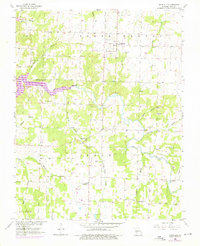
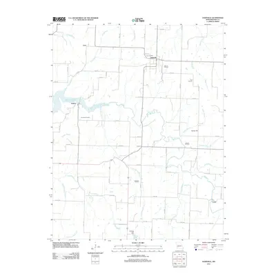
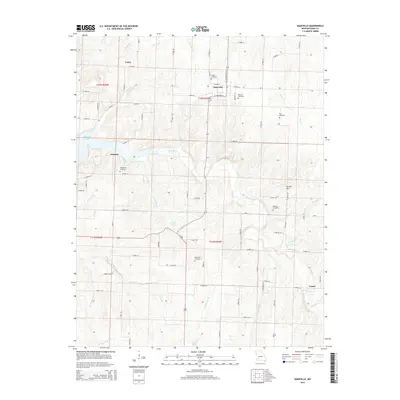
Historical Maps of Dadeville Through Time
5 maps found
Featured Locations
Source Details
SourceU.S. Geological Survey
CopyrightPublic Domain