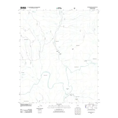
2011 Map of Dagger Peak
USGS Topo · Published 2011About this map
Dagger Ranch and the small settlement of Dagger anchor this rugged drainage basin where the Salt River carves a deep path through the Gila County landscape. The river's serpentine course is punctuated by several significant whitewater features, including The Sleeper Rapid, Corkscrew Rapid, and the notably named Cliff Hanger Rapid near McGee Mountain. This area is defined by a complex network of canyons and washes, such as Coon Creek, Cherry Creek, and Pringle Wash, which feed into the main river channel.
Find a feature on this map
47 named features on this map. Tap any name to fly to it.
Don’t see what you’re looking for? This feature index may not catch every label — zoom into the map to look around manually.
Map Details
Editions of this 2011 Dagger Peak Map
This is the sole edition of this map. No revisions or reprints were ever made.
Other maps of this area

1922 · Chrysotile
USGS Topo · 1:125,000

1946 · Blue House Mtn
USGS Topo · 1:62,500

1949 · McFadden Peak
USGS Topo · 1:62,500

1949 · Rockinstraw Mtn
USGS Topo · 1:62,500

1950 · Rockinstraw Mtn
USGS Topo · 1:62,500

1950 · McFadden Peak
USGS Topo · 1:62,500

1951 · Blue House Mtn
USGS Topo · 1:62,500

1954 · Mesa
USGS Topo · 1:250,000

1957 · Mesa
USGS Topo · 1:250,000

1958 · Mesa
USGS Topo · 1:250,000