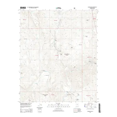
2014 Map of Dagger Peak
USGS Topo · Published 2014About this map
Dagger and the open reach of Redmond Flat define this section of the Tonto National Forest in Gila County. The topography is dominated by the deeply incised Salt River Canyon, where the Salt River carves through the landscape at Horseshoe Bend. This river system is a focal point for navigation and terrain study, featuring named whitewater such as The Sleeper Rapid, Quartzite Rapid, and Cliff Hanger Rapid.
Find a feature on this map
51 named features on this map. Tap any name to fly to it.
Don’t see what you’re looking for? This feature index may not catch every label — zoom into the map to look around manually.
Map Details
Editions of this 2014 Dagger Peak Map
This is the sole edition of this map. No revisions or reprints were ever made.
Other maps of this area

1922 · Chrysotile
USGS Topo · 1:125,000

1946 · Blue House Mtn
USGS Topo · 1:62,500

1949 · McFadden Peak
USGS Topo · 1:62,500

1949 · Rockinstraw Mtn
USGS Topo · 1:62,500

1950 · Rockinstraw Mtn
USGS Topo · 1:62,500

1950 · McFadden Peak
USGS Topo · 1:62,500

1951 · Blue House Mtn
USGS Topo · 1:62,500

1954 · Mesa
USGS Topo · 1:250,000

1957 · Mesa
USGS Topo · 1:250,000

1958 · Mesa
USGS Topo · 1:250,000