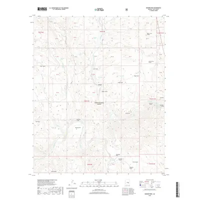
2018 Map of Dagger Peak
USGS Topo · Published 2018About this map
Tonto National Forest defines the character of this Gila County landscape, where the Salt River carves a deep path through complex terrain. The river is marked by series of treacherous white water, including The Sleeper Rapid, Corkscrew Rapid, and Cliff Hanger Rapid, illustrating the waterway's untamed nature in this era. This central corridor is flanked by prominent elevations such as Black Mesa and Redmond Mtn, with local life centering on the small settlement of Dagger. Numerous water sources like Montague Spring, Liquor Spring, and Bill Lee Spring are scattered across the quadrangle, serving as critical landmarks in a region dominated by deep drainages like Cougar Canyon and Sycamore Canyon. The mapping of several numbered blocks indicates specific land parcels or historic grazing allotments within the national forest boundary.
Find a feature on this map
65 named features on this map. Tap any name to fly to it.
Don’t see what you’re looking for? This feature index may not catch every label — zoom into the map to look around manually.
Map Details
Editions of this 2018 Dagger Peak Map
This is the sole edition of this map. No revisions or reprints were ever made.
Other maps of this area

1922 · Chrysotile
USGS Topo · 1:125,000

1946 · Blue House Mtn
USGS Topo · 1:62,500

1949 · McFadden Peak
USGS Topo · 1:62,500

1949 · Rockinstraw Mtn
USGS Topo · 1:62,500

1950 · Rockinstraw Mtn
USGS Topo · 1:62,500

1950 · McFadden Peak
USGS Topo · 1:62,500

1951 · Blue House Mtn
USGS Topo · 1:62,500

1954 · Mesa
USGS Topo · 1:250,000

1957 · Mesa
USGS Topo · 1:250,000

1958 · Mesa
USGS Topo · 1:250,000