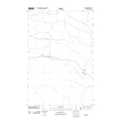
2011 Map of Daigle
USGS Topo · Published 2011About this map
Daigle and Ouellette anchor this northern Maine landscape, where the rural road network and logging heritage are etched into the terrain of Aroostook County. The area is defined by a complex drainage system, featuring Black Lake and the Daigle Pond Dam along the upper reaches of South Perley Brook. To the east, aviation landmarks like Sunrise Farms Airport and the La Change Landing Field indicate the importance of small-scale air transport in this timber-rich region. The map reveals a high density of family-named roads such as Pelletier Rd, Bouchard Rd, and Roland Daigle Rd, which speak to the long-standing genealogical roots of the French-Acadian families who settled these highlands. Numerous waterways, including Dimock Brook and West Fork Dickey Brook, carve through the woods, illustrating the natural watershed that has historically supported local industry and settlement patterns.
Find a feature on this map
41 named features on this map. Tap any name to fly to it.
Don’t see what you’re looking for? This feature index may not catch every label — zoom into the map to look around manually.
Map Details
Editions of this 2011 Daigle Map
This is the sole edition of this map. No revisions or reprints were ever made.
Other maps of this area

1927 · Square Lake
USGS Topo · 1:48,000

1928 · Eagle Lake
USGS Topo · 1:48,000

1931 · Square Lake
USGS Topo · 1:62,500

1931 · Eagle Lake
USGS Topo · 1:62,500

1932 · Frenchville
USGS Topo · 1:48,000

1932 · Fort Kent
USGS Topo · 1:48,000

1935 · Fort Kent
USGS Topo · 1:62,500

1935 · Frenchville
USGS Topo · 1:62,500

1953 · Square Lake
USGS Topo · 1:62,500

1962 · Edmundston
USGS Topo · 1:250,000