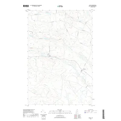
2018 Map of Daigle
USGS Topo · Published 2018About this map
Daigle and the surrounding Aroostook County forestland are meticulously documented in this 2018 survey. This region of northern Maine is characterized by an intricate drainage system, with numerous streams such as Pelletier Brook, Dimock Brook, and Snare Brook feeding into the local waterways. The map highlights the agrarian and rural residential nature of the landscape, centered around the settlement at Daigle and the nearby Ouellette.
Find a feature on this map
36 named features on this map. Tap any name to fly to it.
Don’t see what you’re looking for? This feature index may not catch every label — zoom into the map to look around manually.
Map Details
Editions of this 2018 Daigle Map
This is the sole edition of this map. No revisions or reprints were ever made.
Other maps of this area

1927 · Square Lake
USGS Topo · 1:48,000

1928 · Eagle Lake
USGS Topo · 1:48,000

1931 · Square Lake
USGS Topo · 1:62,500

1931 · Eagle Lake
USGS Topo · 1:62,500

1932 · Frenchville
USGS Topo · 1:48,000

1932 · Fort Kent
USGS Topo · 1:48,000

1935 · Fort Kent
USGS Topo · 1:62,500

1935 · Frenchville
USGS Topo · 1:62,500

1953 · Square Lake
USGS Topo · 1:62,500

1962 · Edmundston
USGS Topo · 1:250,000