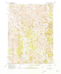
1961 Map of Dairy Valley
USGS Topo · Published 1973About this map
Dairy Valley and the high desert plateaus of the Nevada-Utah border are defined by a complex network of springs and canyons in this 1961 field-checked survey. The landscape is marked by essential water management for ranching and survival, evidenced by the Granite Creek Reservoir, Mill Creek Reservoir, and the significant Crittenden Reservoir to the south. Numerous family-named landmarks and water sources like China Jim Spring, Mecham Creek, and Morse Creek suggest a history of seasonal grazing and movement through the high country.
Find a feature on this map
53 named features on this map. Tap any name to fly to it.
Don’t see what you’re looking for? This feature index may not catch every label — zoom into the map to look around manually.
Map Details
Editions of this 1961 Dairy Valley Map
2 editions found
Other maps of this area

1954 · Brigham City
USGS Topo · 1:250,000

1955 · Wells
USGS Topo · 1:250,000

1958 · Wells
USGS Topo · 1:250,000

1958 · Brigham City
USGS Topo · 1:250,000

1959 · Cotton Thomas Basin
USGS Topo · 1:62,500

1961 · Wells
USGS Topo · 1:250,000

1961 · Delano Mountains
USGS Topo · 1:62,500

1961 · Gollaher Mountain
USGS Topo · 1:62,500

1961 · Goose Creek
USGS Topo · 1:62,500

1961 · Dairy Valley
USGS Topo · 1:62,500