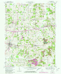
1961 Map of Dale
USGS Topo · Published 1981About this map
The Southern railroad corridor anchors this survey of southern Indiana, connecting the town of Dale with the surrounding rural communities of Johnsburg, St Henry, and Mariah Hill. The landscape is a complex mix of agricultural land, coal production, and early tourism, notably featuring the evolving community of Santa Claus in the southeast. Industrial activity is evident through numerous oil wells scattered throughout the central region and a large Strip Mine operation south of Mariah Hill, reflecting the area's resource-driven economy during the late 1950s and early 1960s.
Find a feature on this map
37 named features on this map. Tap any name to fly to it.
Don’t see what you’re looking for? This feature index may not catch every label — zoom into the map to look around manually.
Map Details
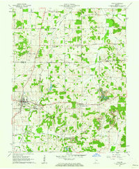
Editions of this 1961 Dale Map
2 editions found
Other maps of this area

1900 · St Meinrad
USGS Topo · 1:62,500

1900 · De Gonia Springs
USGS Topo · 1:62,500

1902 · Ditney
USGS Topo · 1:125,000

1902 · Degonia Springs
USGS Topo · 1:62,500

1903 · St. Meinrad
USGS Topo · 1:62,500

1903 · Velpen
USGS Topo · 1:62,500

1954 · Huntingburg
USGS Topo · 1:24,000

1955 · Saint Anthony
USGS Topo · 1:24,000

1956 · Vincennes
USGS Topo · 1:250,000

1957 · Vincennes
USGS Topo · 1:250,000