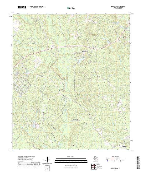
2022 Map of Dallardsville
USGS Topo · Published 2022About this map
Big Thicket National Preserve dominates this portion of Polk County, where dense piney woods are dissected by a complex network of creeks including Big Sandy Cr and Little Hickory Cr. The cultural landscape is deeply rooted in the history of the Alabama-Coushatta people, evidenced by the Alabama Coushatta Indian Reservation Cem and the Indian Baptist Cem located near Tombigbee Lake. This area maintains a dispersed settlement pattern, with smaller communities like Indian Springs and Dallardsville serving as focal points for the surrounding rural area.
Find a feature on this map
103 named features on this map. Tap any name to fly to it.
Don’t see what you’re looking for? This feature index may not catch every label — zoom into the map to look around manually.
Map Details
Editions of this 2022 Dallardsville Map
This is the sole edition of this map. No revisions or reprints were ever made.
Other maps of this area

1954 · Beaumont
USGS Topo · 1:250,000

1955 · Camden
USGS Topo · 1:62,500

1955 · New Willard
USGS Topo · 1:62,500

1957 · Beaumont
USGS Topo · 1:250,000

1958 · Livingston
USGS Topo · 1:62,500

1958 · Segno
USGS Topo · 1:62,500

1984 · Segno
USGS Topo · 1:24,000

1984 · Hortense
USGS Topo · 1:24,000

1984 · Soda
USGS Topo · 1:24,000

1984 · Beaumont
USGS Topo · 1:250,000