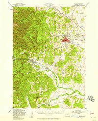
1957 Map of Dallas
USGS Topo · Published 1958About this map
The Dallas area of Polk County is defined by the transition from the eastern slopes of the Siuslaw National Forest to the productive agricultural lands of the Willamette Valley. In the late 1950s, this landscape was a network of small farming communities and timber interests connected by the Southern Pacific railroad and historic thoroughfares like the Pacific Highway West. Rural social centers are well-represented by landmarks such as the Farmers Union Hall, Camp Kilowan, and numerous local schoolhouses including Orchard View Sch and North Liberty Sch. Along the Luckiamute River and its tributaries, small settlements like Falls City, Airlie, and Pedee anchor the southern half of the map, while the unique naming of Socialist Valley in the western timberlands provides a fascinating point of local historical interest.
Find a feature on this map
57 named features on this map. Tap any name to fly to it.
Don’t see what you’re looking for? This feature index may not catch every label — zoom into the map to look around manually.
Map Details
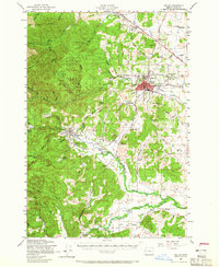
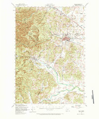
Editions of this 1957 Dallas Map
3 editions found
Other maps of this area

1913 · Wells
USGS Topo · 1:31,680

1914 · Independence
USGS Topo · 1:31,680

1914 · Soap Creek
USGS Topo · 1:31,680

1915 · Rickreall
USGS Topo · 1:31,680

1916 · Albany
USGS Topo · 1:62,500

1917 · Salem
USGS Topo · 1:62,500

1921 · Corvallis
USGS Topo · 1:62,500

1922 · Airlie
USGS Topo · 1:31,680

1924 · Mc Minnville
USGS Topo · 1:48,000

1926 · Mc Minnville
USGS Topo · 1:62,500