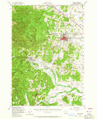
1957 Map of Dallas
USGS Topo · Published 1965About this map
Dallas and its surrounding Polk County agricultural and timber lands are captured here during a period of steady mid-century growth. The town serves as a hub where Ash Creek meets the Southern Pacific railroad line, surrounded by numerous rural schoolhouses such as Orchard View Sch and North Liberty Sch. To the west, the terrain rises sharply into the Siuslaw National Forest, characterized by the steep timbered ridges of Mill Creek Ridge and Rickreall Ridge.
Find a feature on this map
70 named features on this map. Tap any name to fly to it.
Don’t see what you’re looking for? This feature index may not catch every label — zoom into the map to look around manually.
Map Details
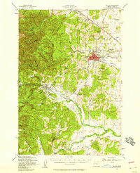
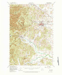
Editions of this 1957 Dallas Map
3 editions found
Other maps of this area

1913 · Wells
USGS Topo · 1:31,680

1914 · Independence
USGS Topo · 1:31,680

1914 · Soap Creek
USGS Topo · 1:31,680

1915 · Rickreall
USGS Topo · 1:31,680

1916 · Albany
USGS Topo · 1:62,500

1917 · Salem
USGS Topo · 1:62,500

1921 · Corvallis
USGS Topo · 1:62,500
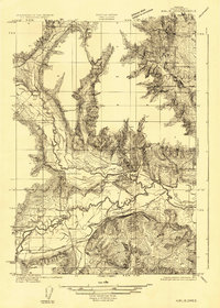
1922 · Airlie
USGS Topo · 1:31,680

1924 · Mc Minnville
USGS Topo · 1:48,000

1926 · Mc Minnville
USGS Topo · 1:62,500