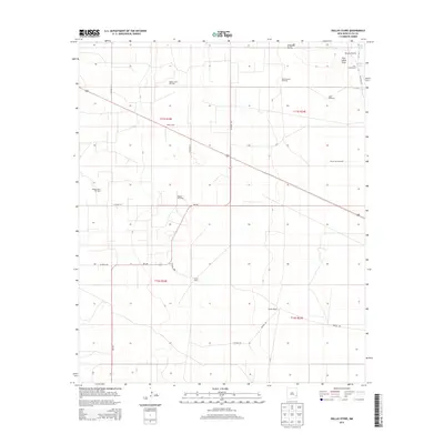
2013 Map of Dallas Store
USGS Topo · Published 2013About this map
Dallas Store and the surrounding high plains of Lea County define this landscape of ranching and petroleum extraction. The 2013 survey illustrates a region where life is organized around scattered family estates and industrial sites, including Acrey Ranch, Medlin Ranch, and the Four Lakes Ranch. The terrain is characterized by broad depressions like the Simanola Valley and the Four Lakes Area, containing ephemeral water bodies such as Middle Lake and House Lake.
Find a feature on this map
30 named features on this map. Tap any name to fly to it.
Don’t see what you’re looking for? This feature index may not catch every label — zoom into the map to look around manually.
Map Details
Editions of this 2013 Dallas Store Map
This is the sole edition of this map. No revisions or reprints were ever made.
Other maps of this area

1954 · Brownfield
USGS Topo · 1:250,000

1958 · Brownfield
USGS Topo · 1:250,000

1961 · Johnson Ranch
USGS Topo · 1:24,000

1962 · Brownfield
USGS Topo · 1:250,000

1970 · Johnson Ranch
USGS Topo · 1:24,000

1970 · Simanola Valley
USGS Topo · 1:24,000

1970 · Alston Ranch
USGS Topo · 1:24,000

1973 · Soldier Hill
USGS Topo · 1:24,000

1973 · Caprock
USGS Topo · 1:24,000

1973 · Cooper-Good Ranch
USGS Topo · 1:24,000