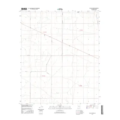
2017 Map of Dallas Store
USGS Topo · Published 2017About this map
Dallas Store serves as a central landmark in this high plains landscape of Lea County, where the geometric grid of the Public Land Survey System meets the practical routes of ranching and industry. The terrain is characterized by the broad depressions of the Simanola Valley and small basins like House Lake, which provide relief in an otherwise expansive flatland. A network of local roads and lanes, including Wines Ranch, Epperson Ln, and Bagley Field Rd, connects the scattered ranching operations that define the area's rural economy. The mapping of township and range lines—such as t11s r33e and t11s r34e—reflects the systematic division of the West, while the presence of named roads like T161 Four Lakes Rd points to the specific family and ranching identities that have long occupied this corner of New Mexico.
Find a feature on this map
19 named features on this map. Tap any name to fly to it.
Don’t see what you’re looking for? This feature index may not catch every label — zoom into the map to look around manually.
Map Details
Editions of this 2017 Dallas Store Map
This is the sole edition of this map. No revisions or reprints were ever made.
Other maps of this area

1954 · Brownfield
USGS Topo · 1:250,000

1958 · Brownfield
USGS Topo · 1:250,000

1961 · Johnson Ranch
USGS Topo · 1:24,000

1962 · Brownfield
USGS Topo · 1:250,000

1970 · Johnson Ranch
USGS Topo · 1:24,000

1970 · Simanola Valley
USGS Topo · 1:24,000

1970 · Alston Ranch
USGS Topo · 1:24,000

1973 · Soldier Hill
USGS Topo · 1:24,000

1973 · Caprock
USGS Topo · 1:24,000

1973 · Cooper-Good Ranch
USGS Topo · 1:24,000